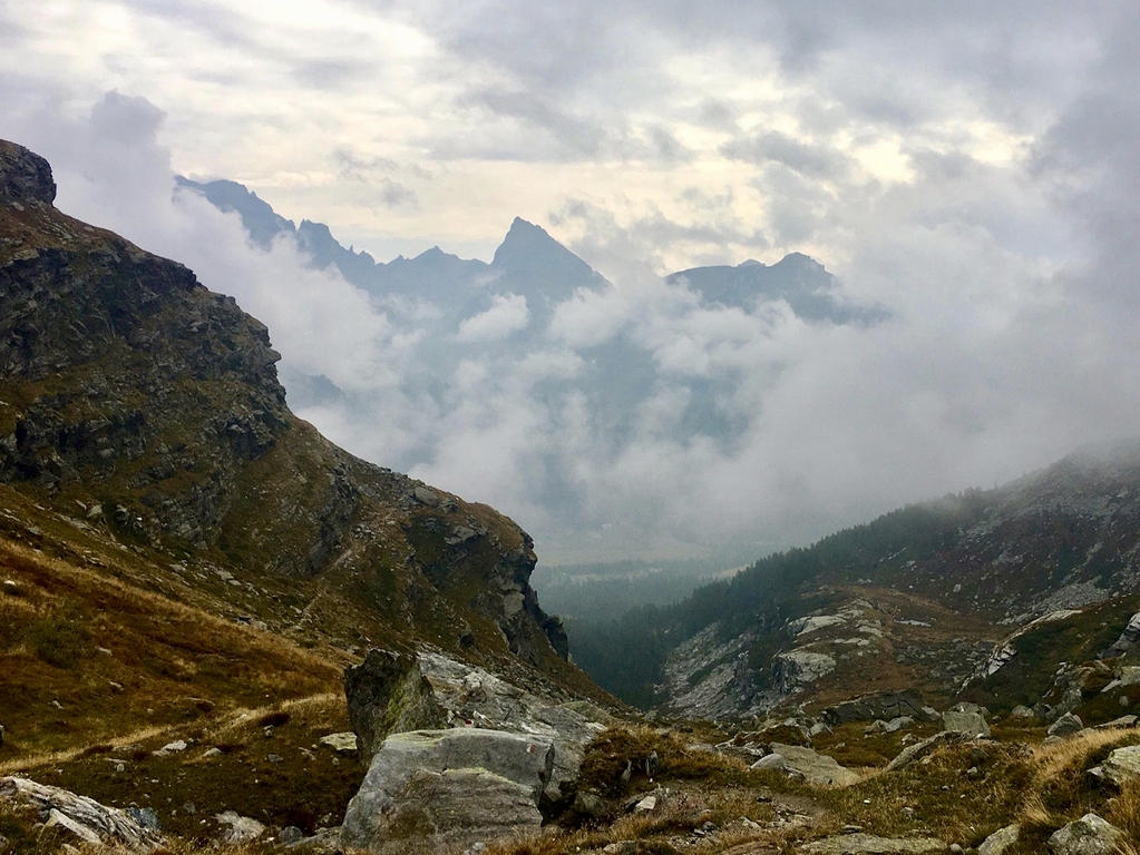
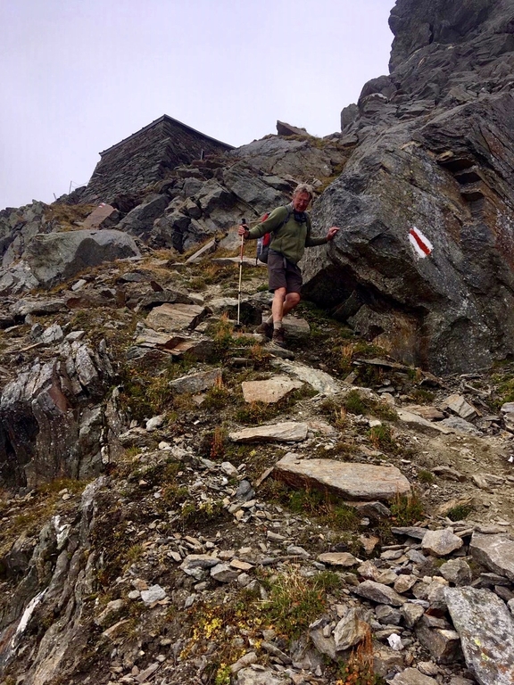
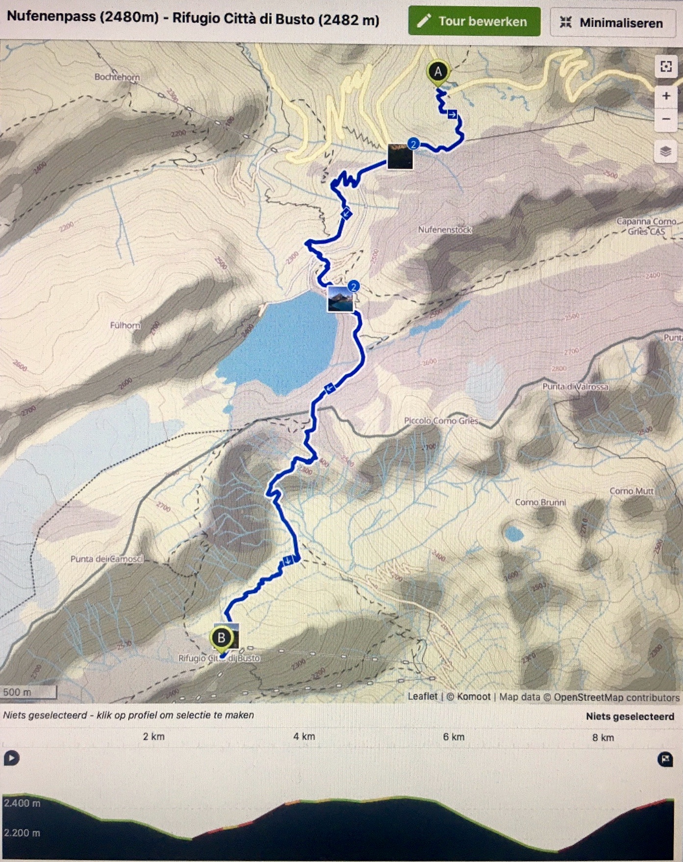
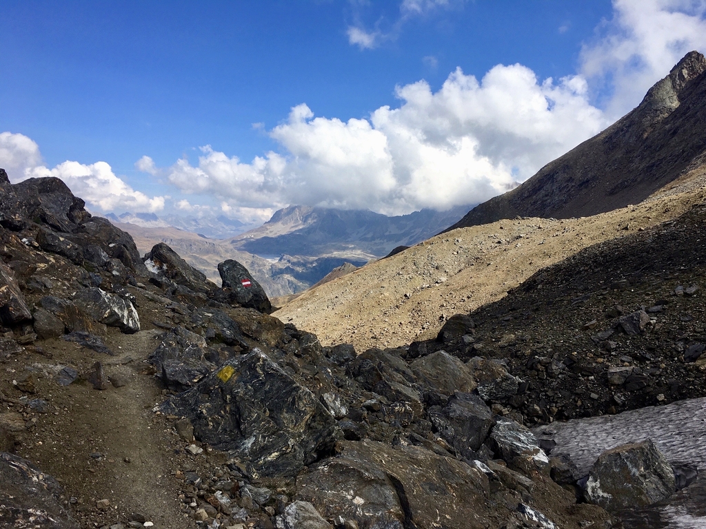
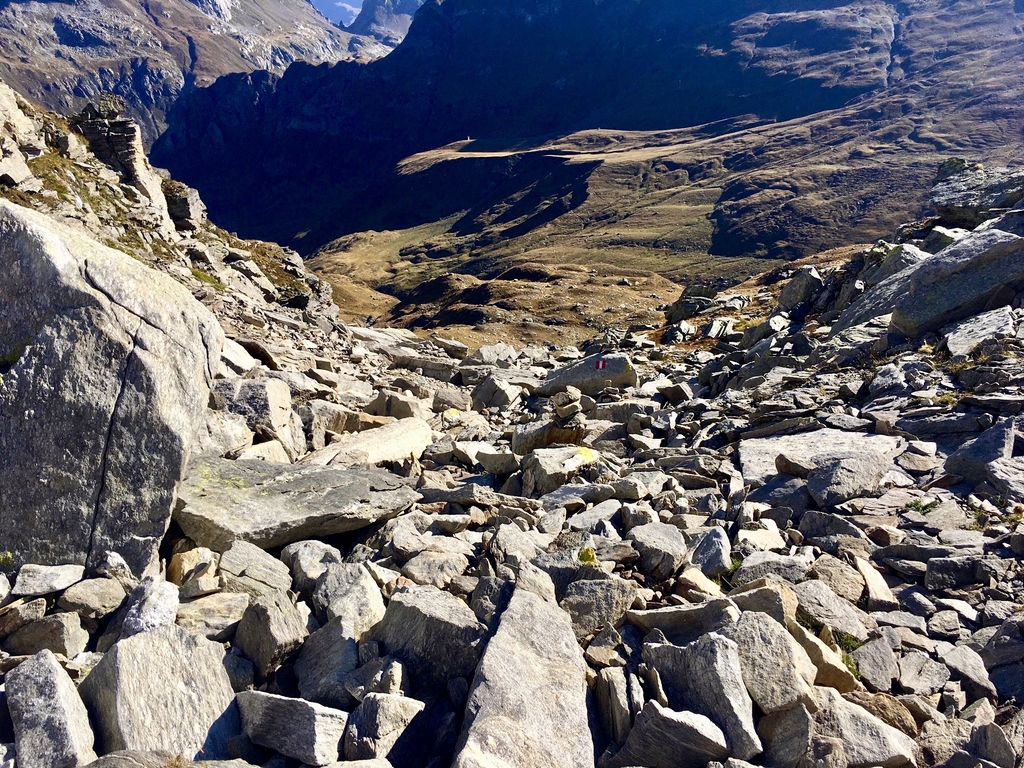
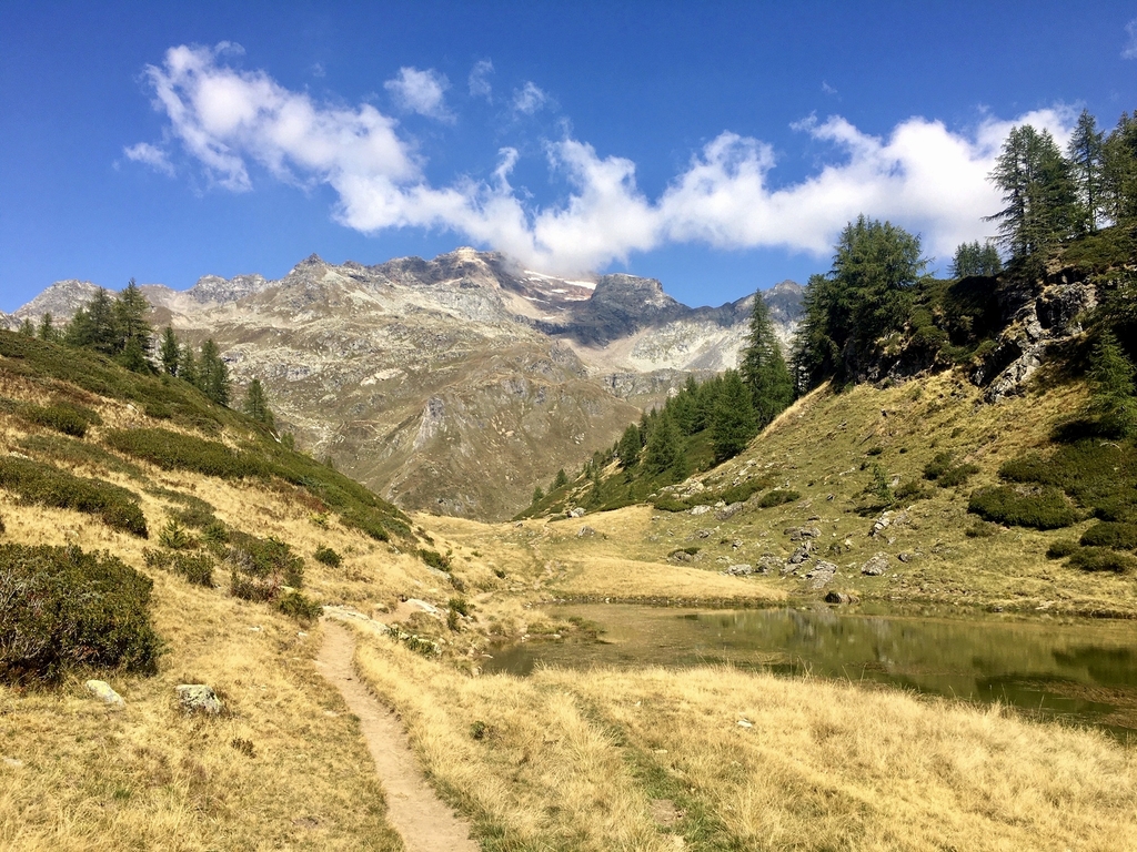
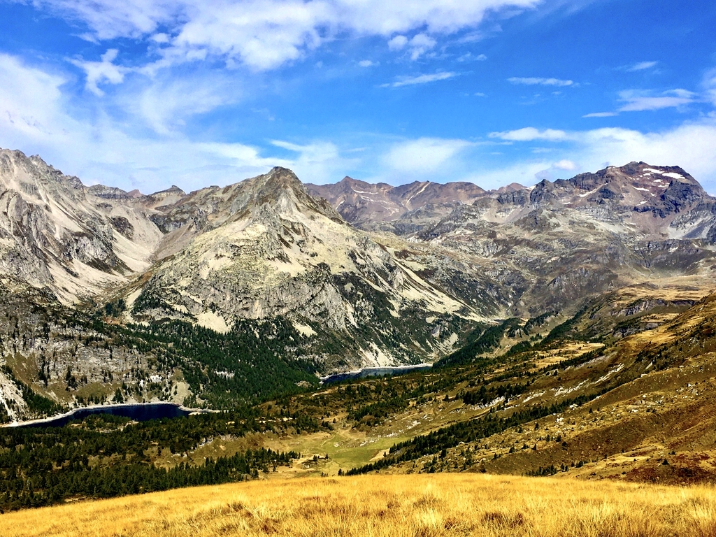
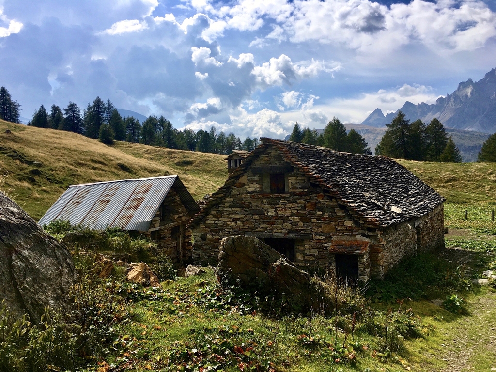
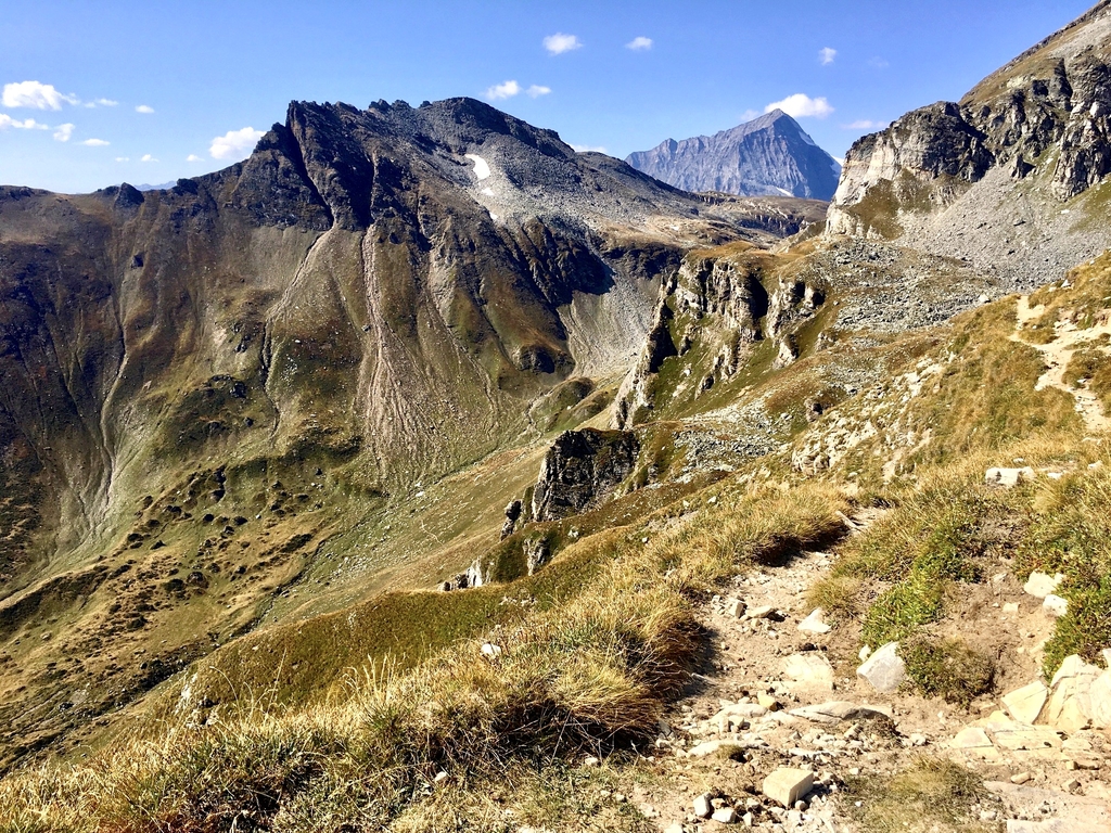
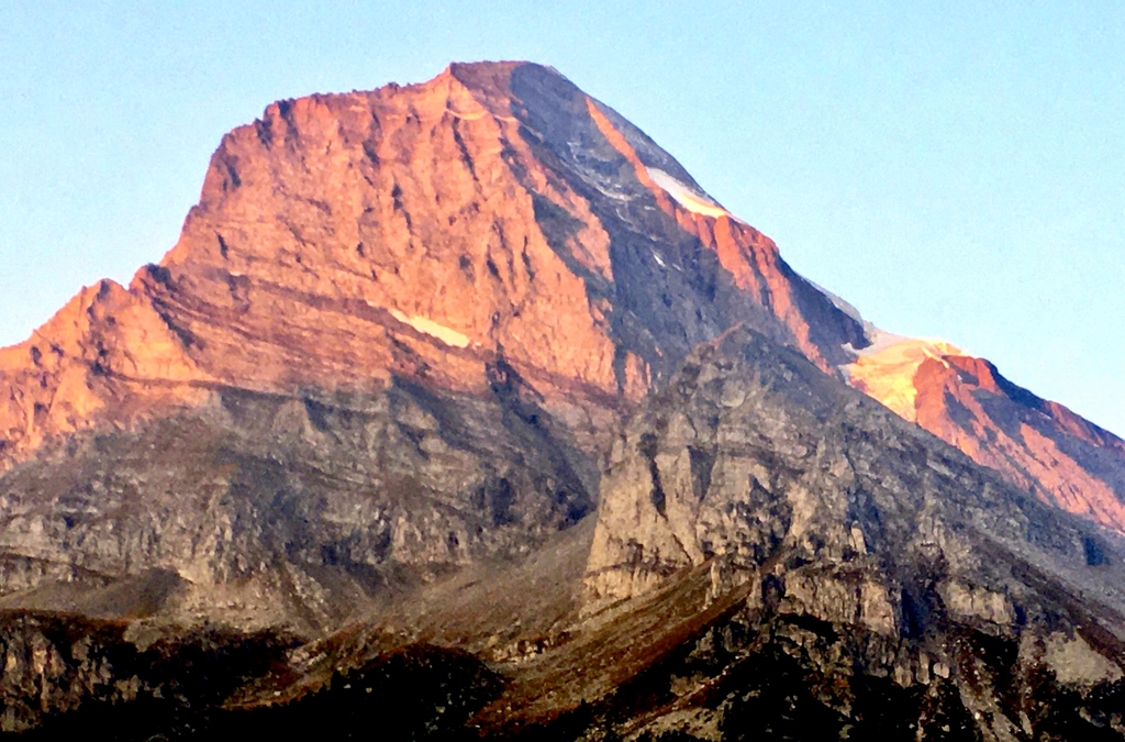
Sunday 13 september: Nufenenpass (2480m) - Rif. Citta di Busto (2482m)
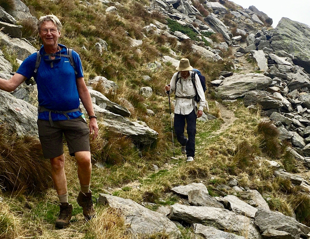
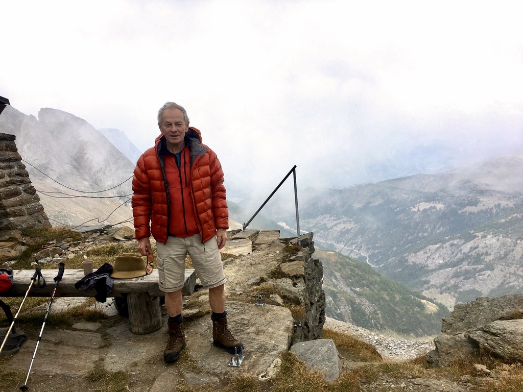
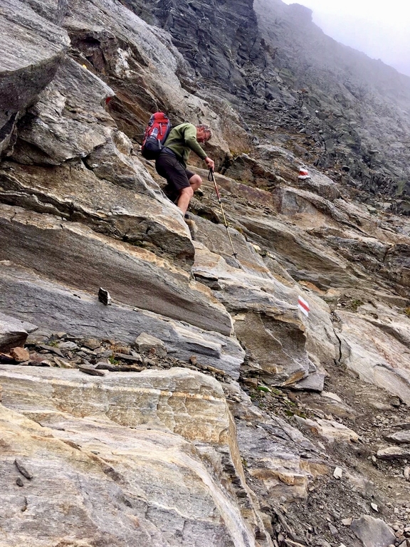
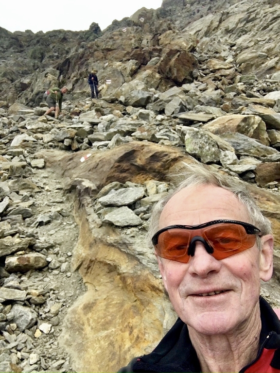
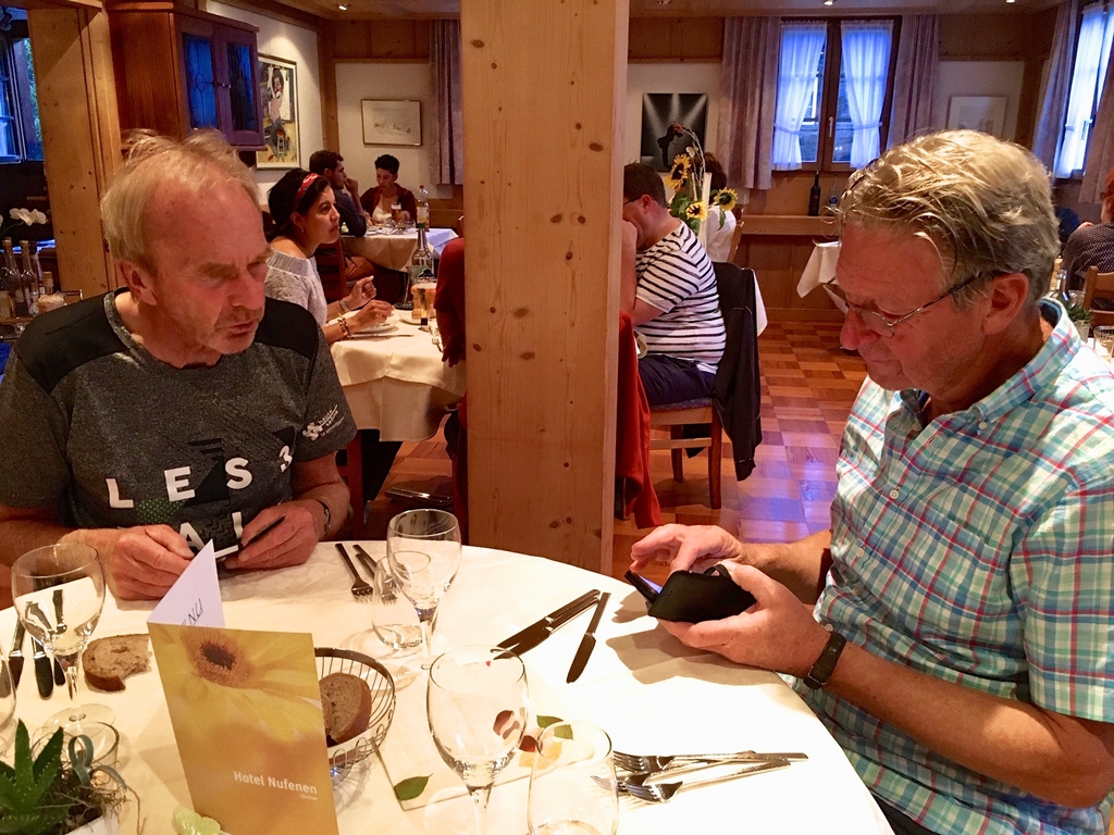
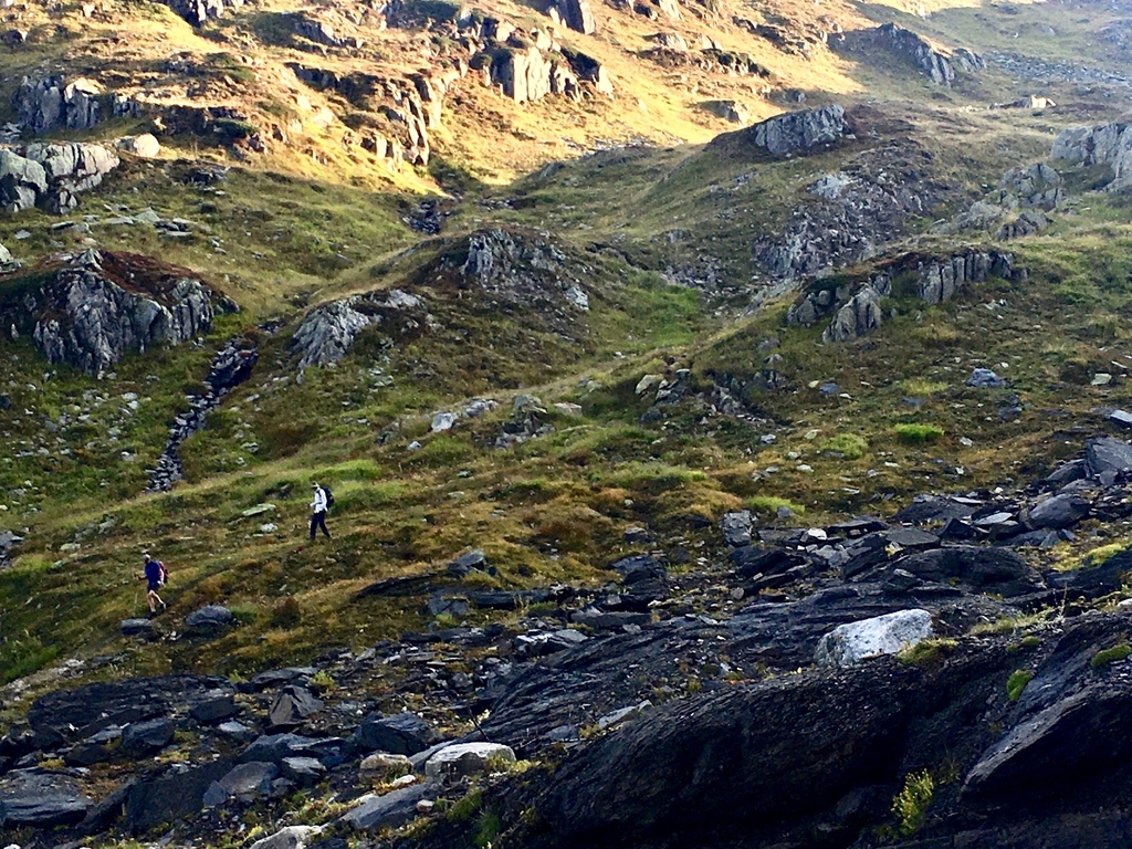
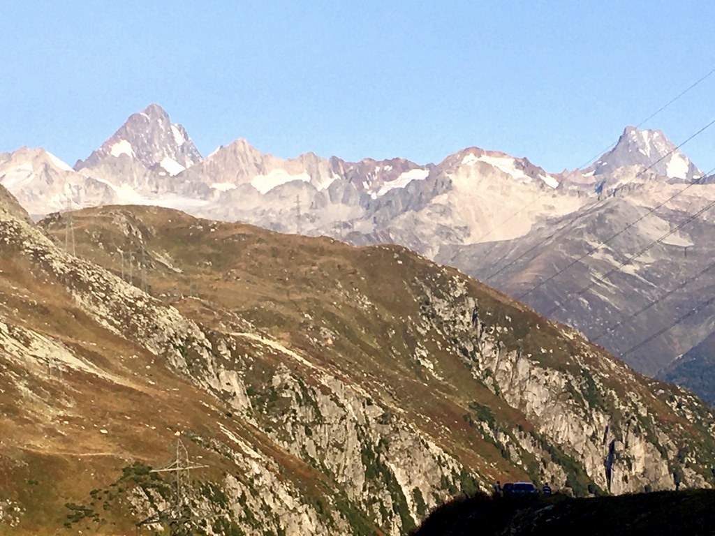
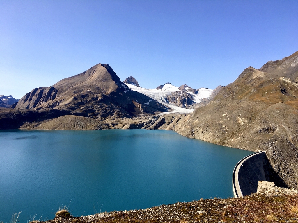
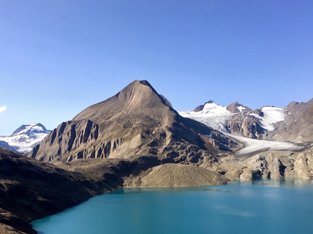
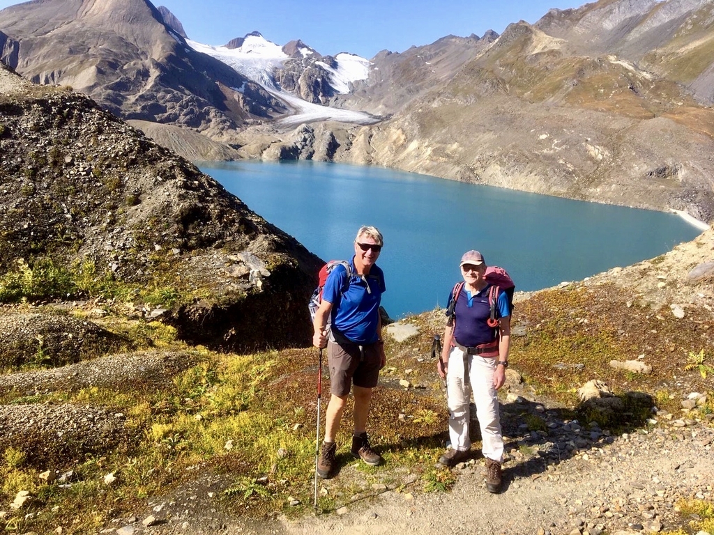
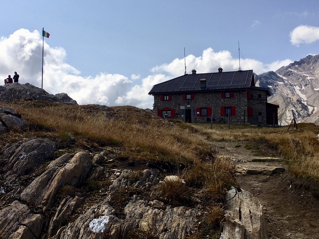
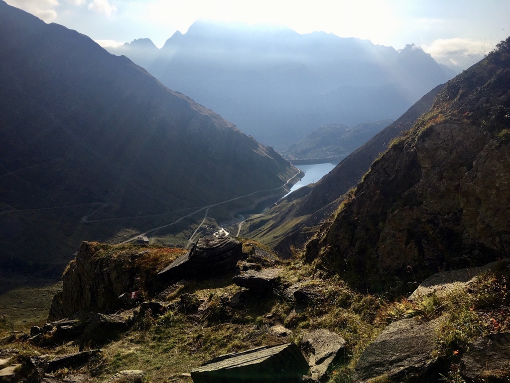
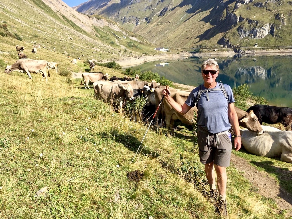
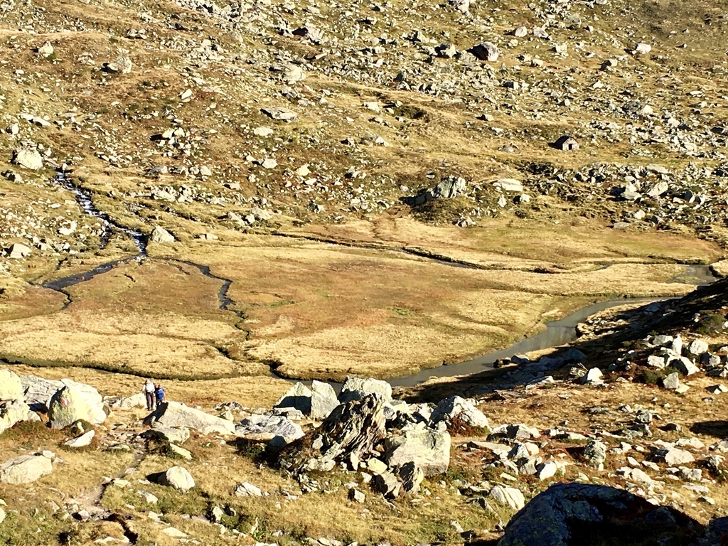
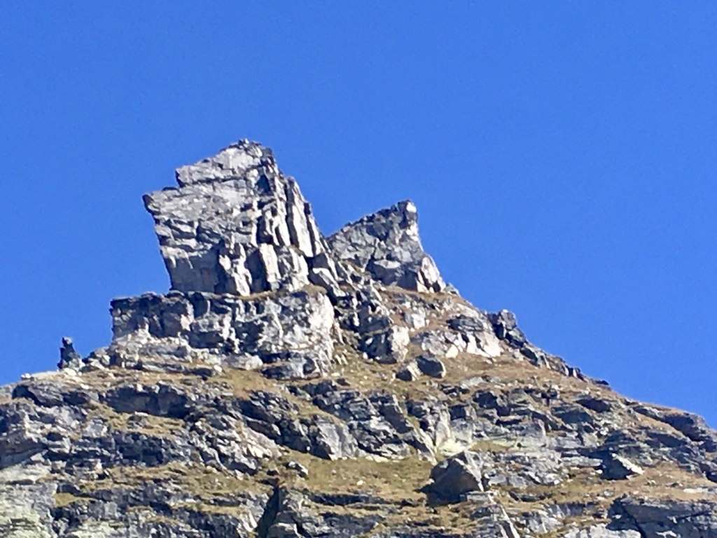
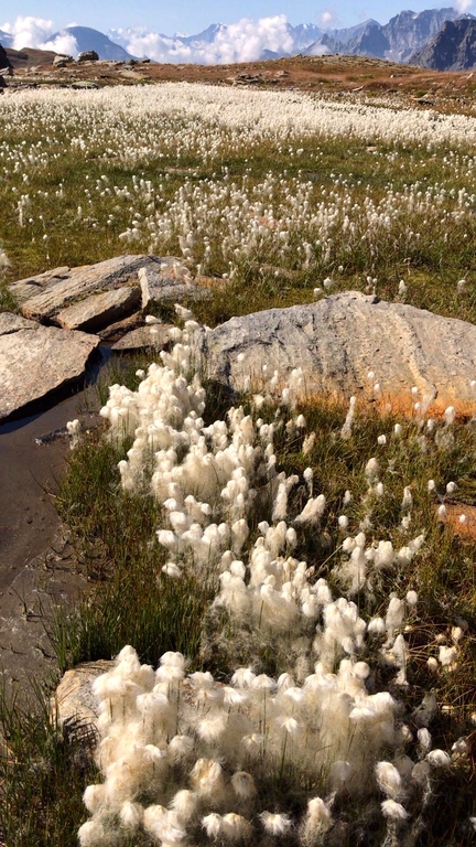
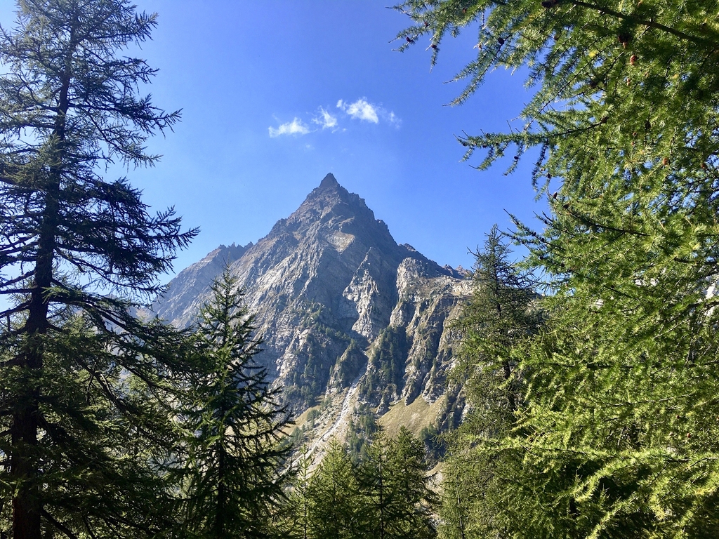
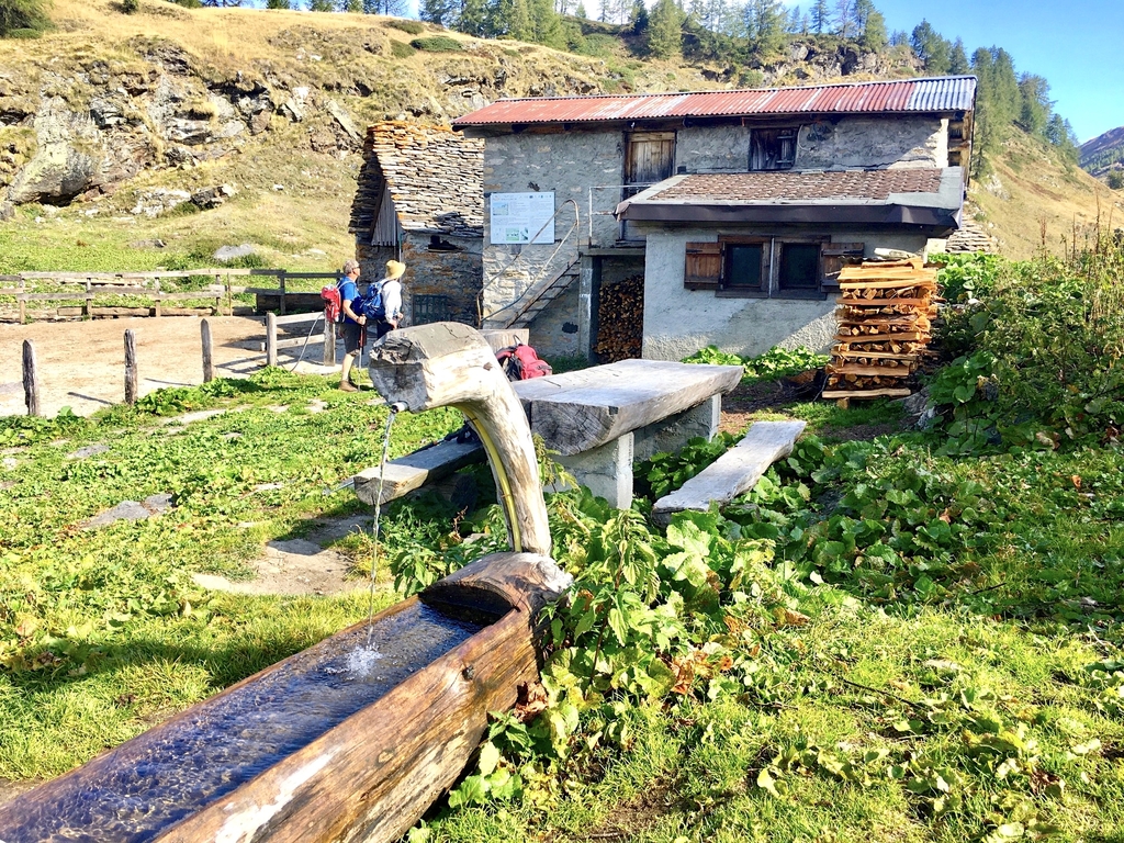
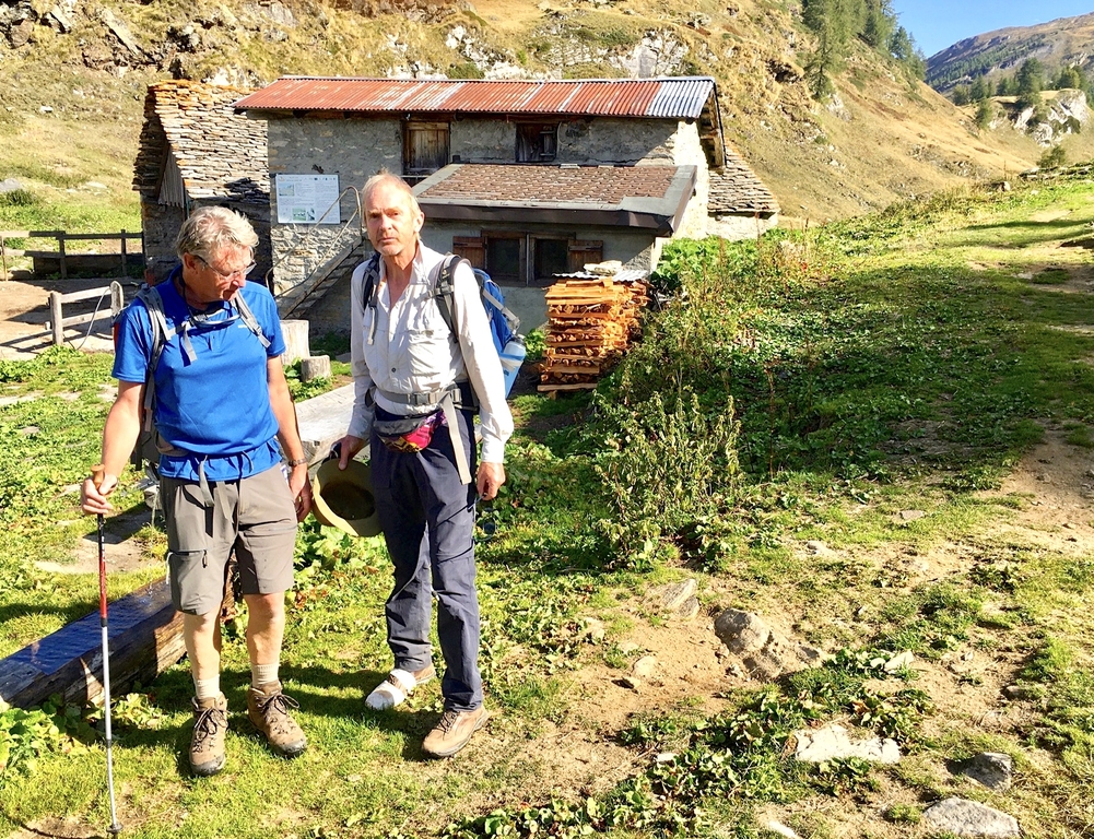
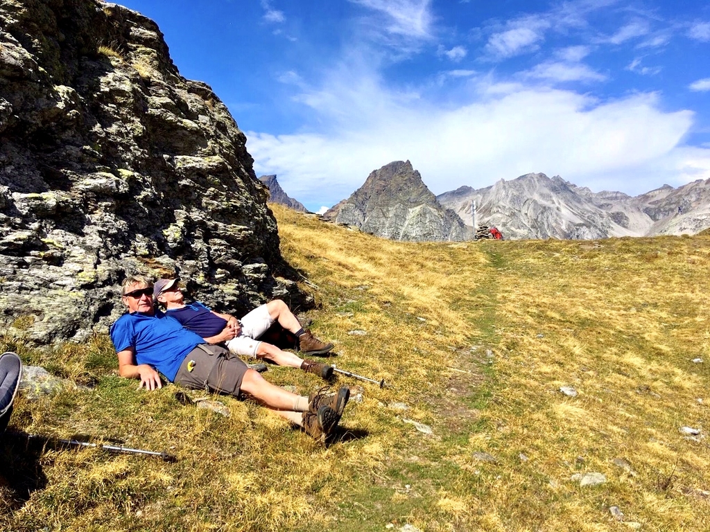
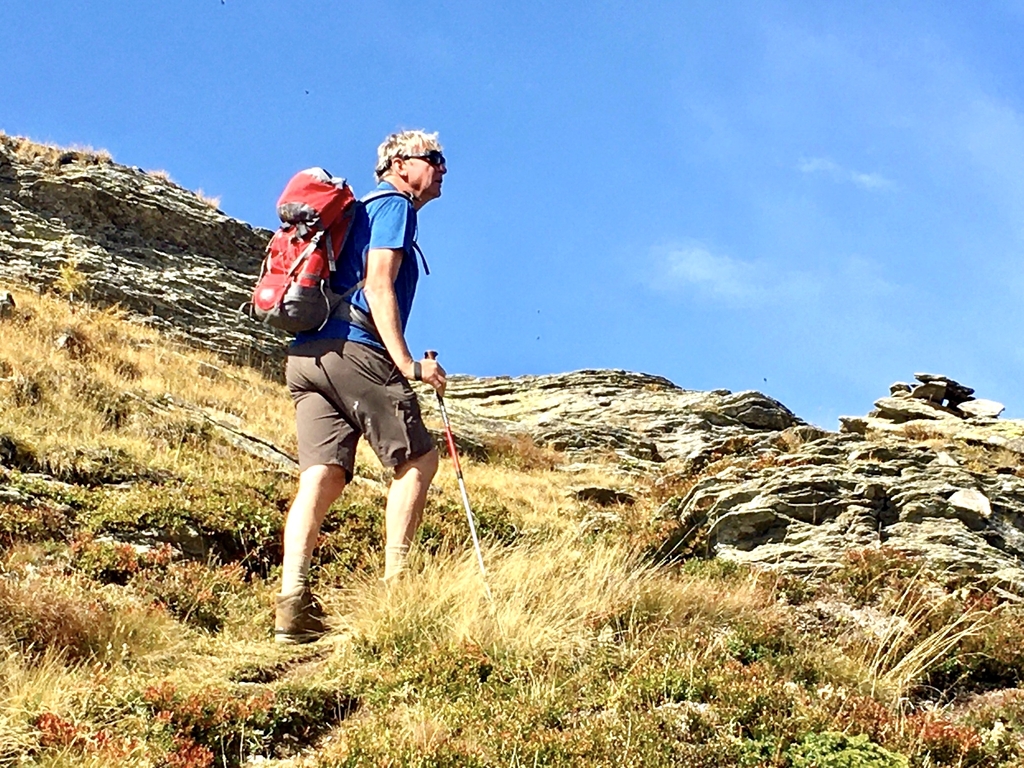
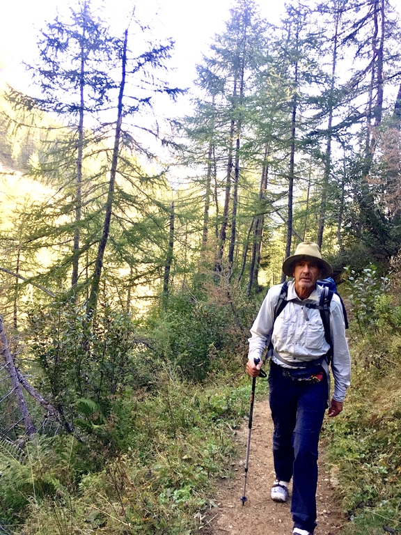
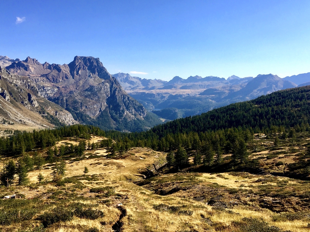
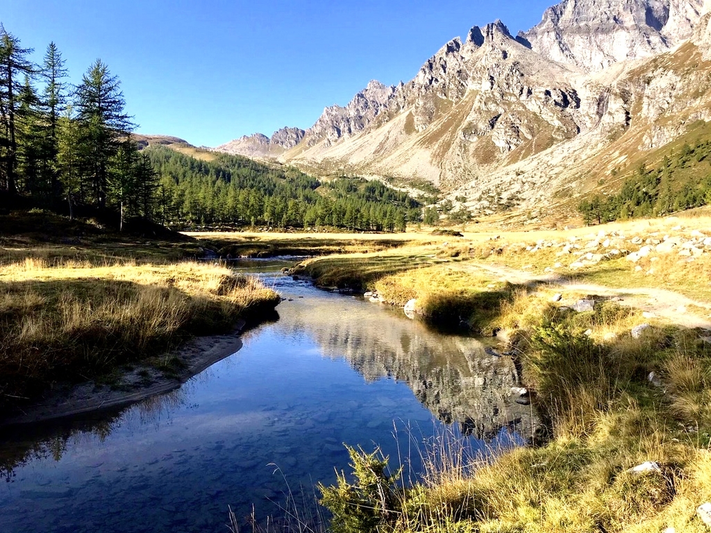
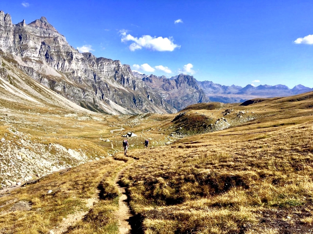
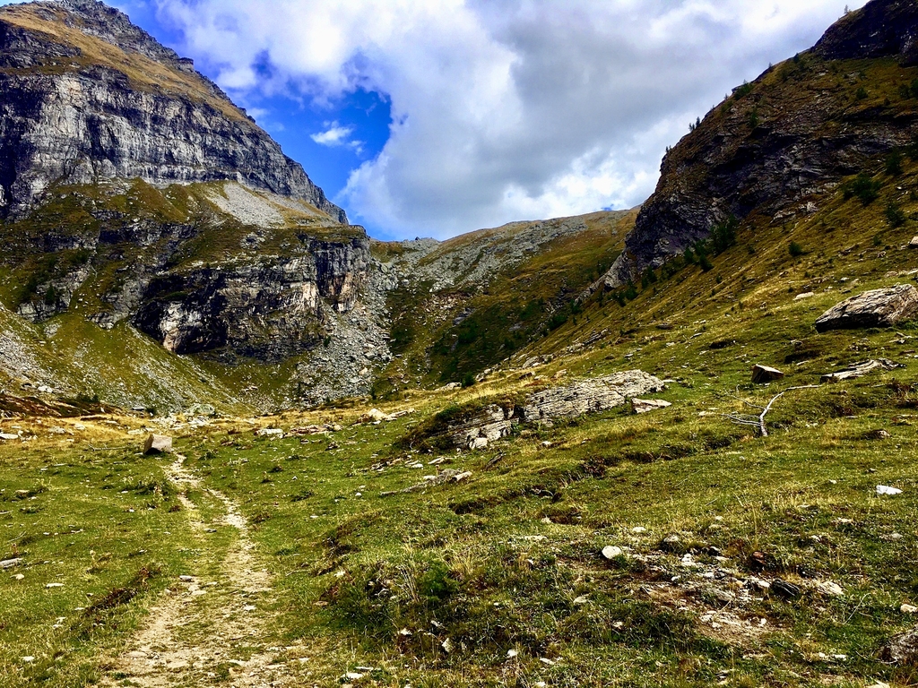
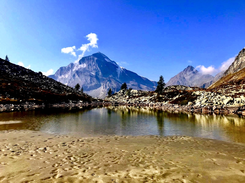
After an early breakfast in Hotel Nufenen, Ulrichen, Switserland, we take the first bus to the Nufenen pass to start our hiking week at 8:15. Yesterday we arrived in time for dinner after a long drive from the Netherlands at this conveniently located hotel where we can also leave our car for the week. It is a beautiful day, no wind and a temperature of 15C which will climb to 25C later in the day. After leaving the bus on the pass we need to orientate ourselves but soon enough the correct path is found. It leads us down to a P area where the trail officially continues along a small road for a while but this is closed off due to stonefall danger. We follow a trail further down that meets up with a trail going up again and eventually come back on the same road further along. There we meet up with a group of young people walking along the same road chattting at leisure that we had decided not to take! After cresting a small hill the first of many reservoirs that we will see over week to come appears with beautiful views over the alps also the first of many to come this week. As the day wears on I find the going harder even though I'm quite fit due to the rollerski training and the many long bike rides I do. But then, I hardly walk and due to the Corona restrictions I have not been above 25 meters altitude for close to a year. Heads down and keep on going! We arrive at Refugio Citta di Busta at 13:30.
walktime: 4 hrs; total time: 5:15 hrs; distance: 9.4 km; a. speed: 2.4 km/uur; up: 437 m; down: 611 m; weather: bright sunny day, 15 - 25 C, a few clouds, virtulally no wind.
photo gallery
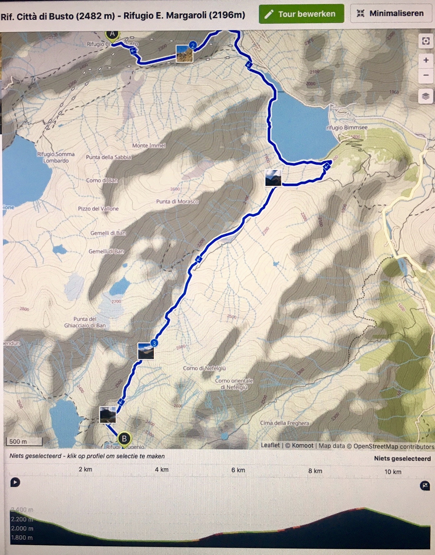
Monday 14 september: Rif. Citta di Busto (2480m) - Rif. E. Margaroli (2194m)
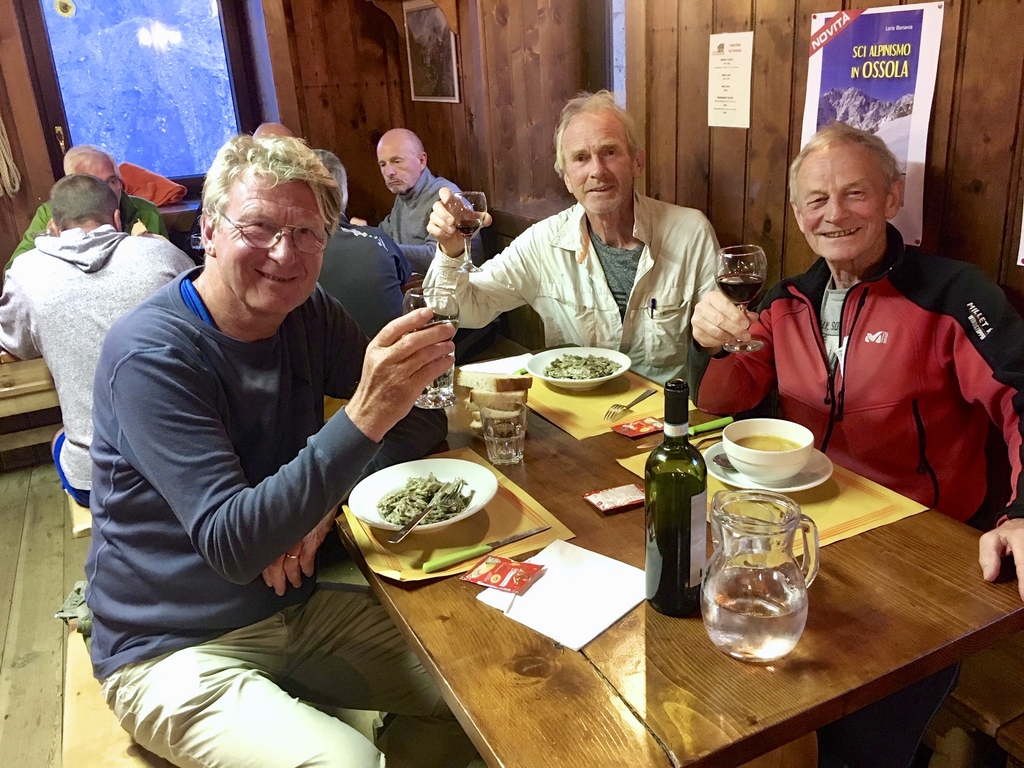
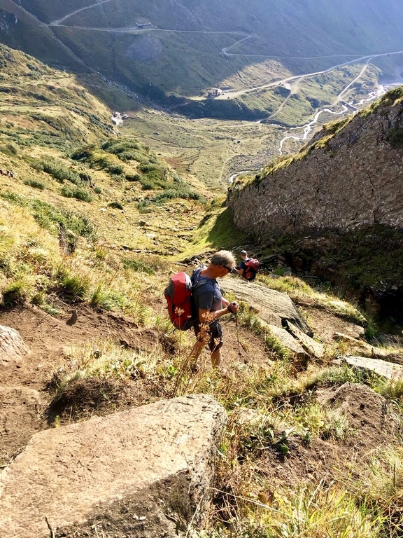
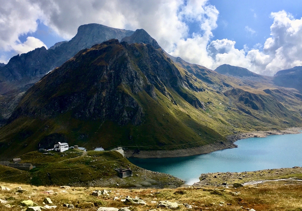
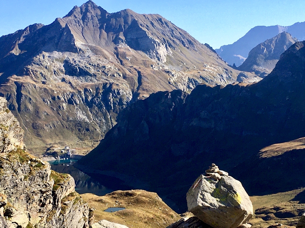
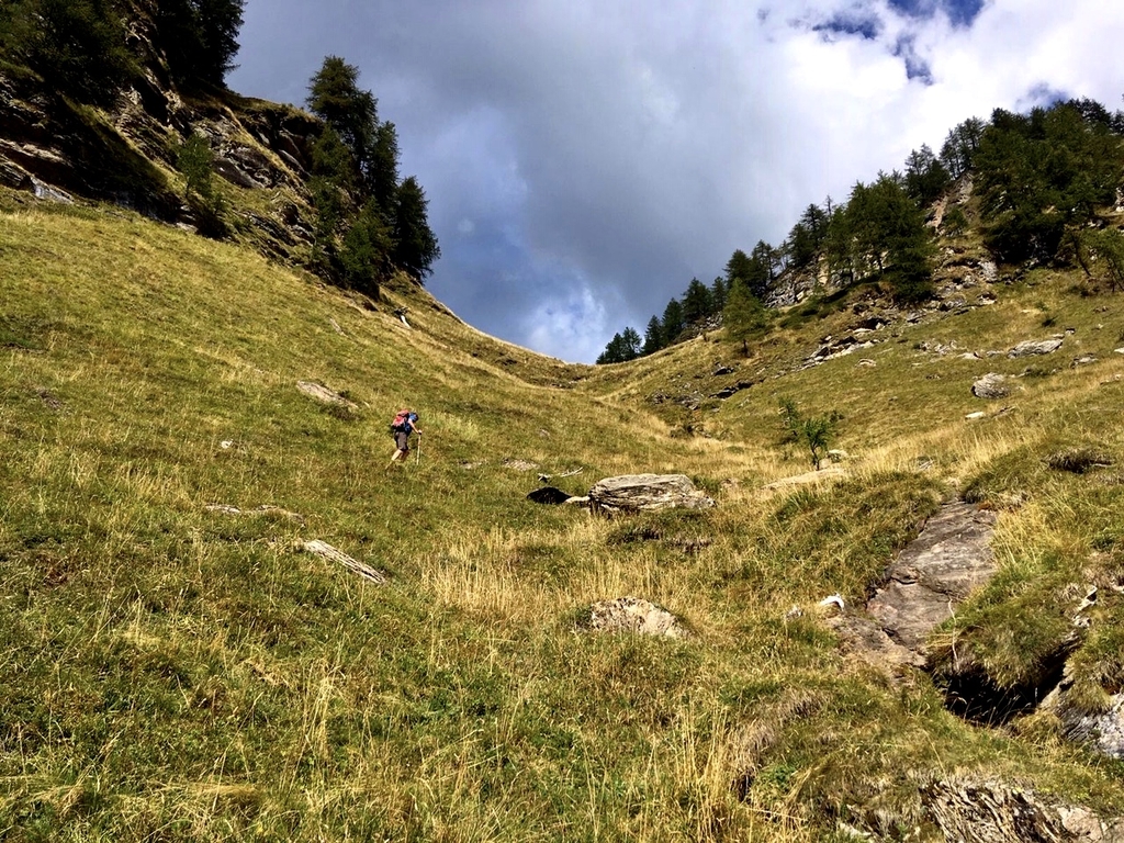
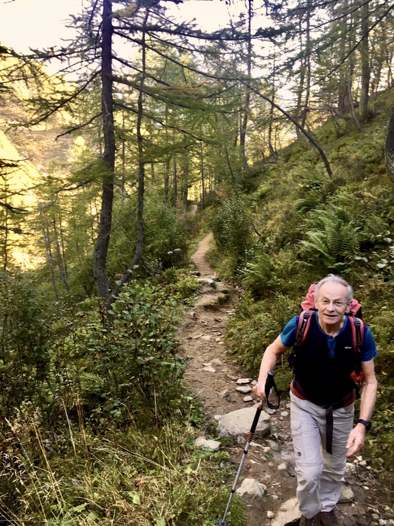
Up at 7 and on the road at 8:25 we head down 650 m to Lago Morasco. The first part is steep and a bit difficult but as we descend the trail improves. It is pure enjoyment here this bright morning and the views. After clos e to 2 hours we arrive at the lake (1830m). The kast part is over a gently sloping meadow and then the path goes to the right along the shore of the reservoir where we need to work our way through a herd of grazing cows. A bit further at 10:45 we start the long climb up to the pass at 2570m which takes us close to 3 hours. The entry to this path is a bit hidden due to the brush growth but it soon improves and higher up gradually becomes the typical alpine trail again. On the pass we fcross some old snowand then we get the full view over the next valley with the (reservoir) lake and Rif. E. Margoli below us where we arrive at 14:30. There we enjoy a cool beer, the rest of yesterdays sausage, soup and bread, the sun and the views across the lake and the alpine decor. Our room is less luxurious compared to yesterdays but who cares, take a shower and rest. Later on we study the maps again, especially the options for the last few days when we need to be in time for the last bus somewhere on the Simplon pass road for transport back to Ulrichen. Our cash situation: It seems we need to paycash everywhere and if this continues we will be short about €250 for one night. We hope to pay with "plastic" somewhere along the line!
walktime: 4 hrs; total time: 5:15 hrs; distance: 9.4 km; av. speed: 2.4 km/hr; up: 437 m; down: 611 m; weather: bright sunny day, 15 - 25 C, a few clouds, no to soft wind.
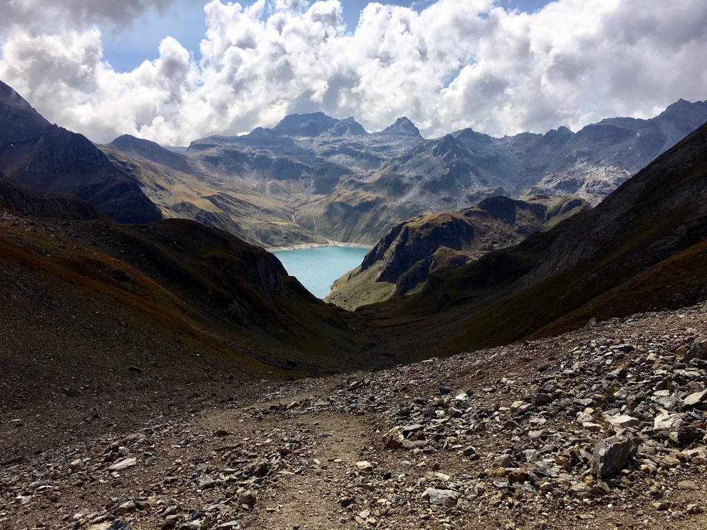
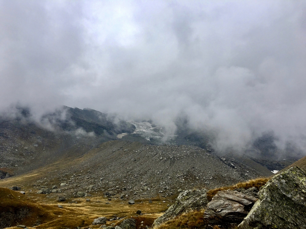
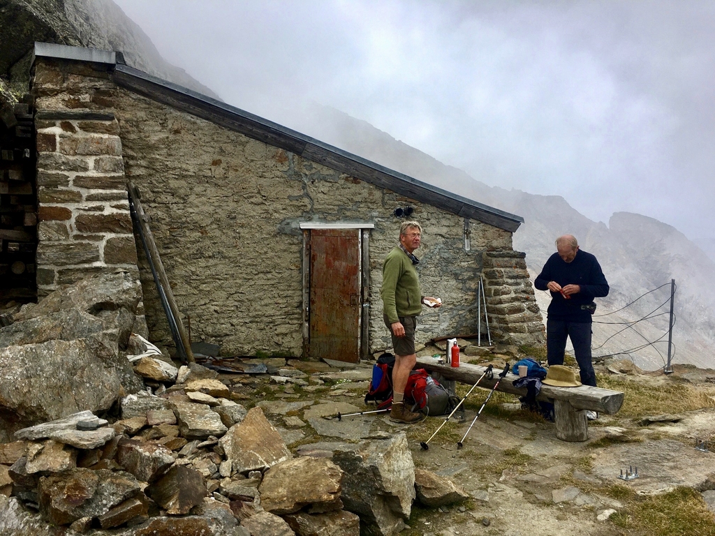
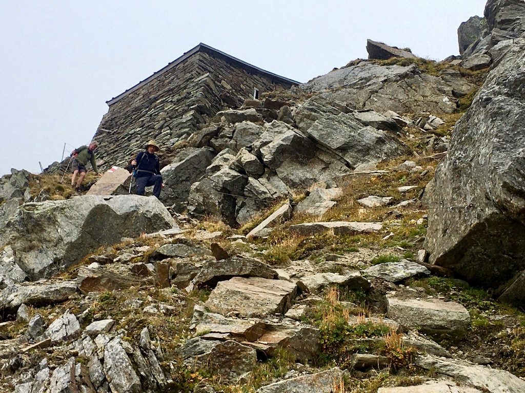
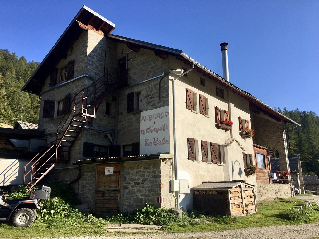
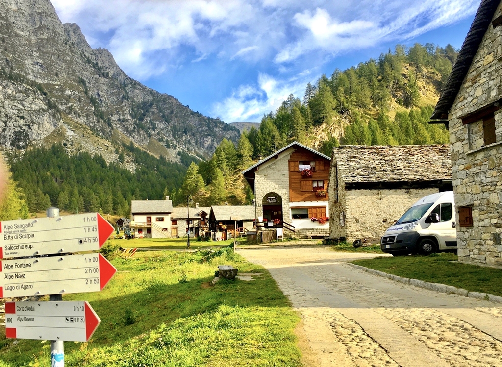
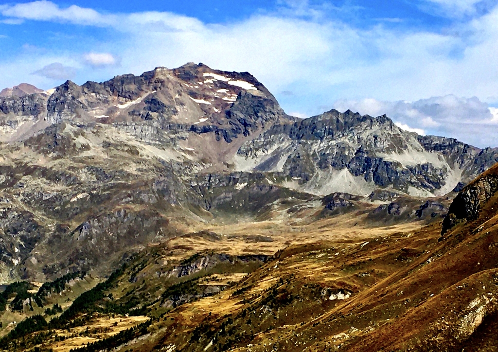
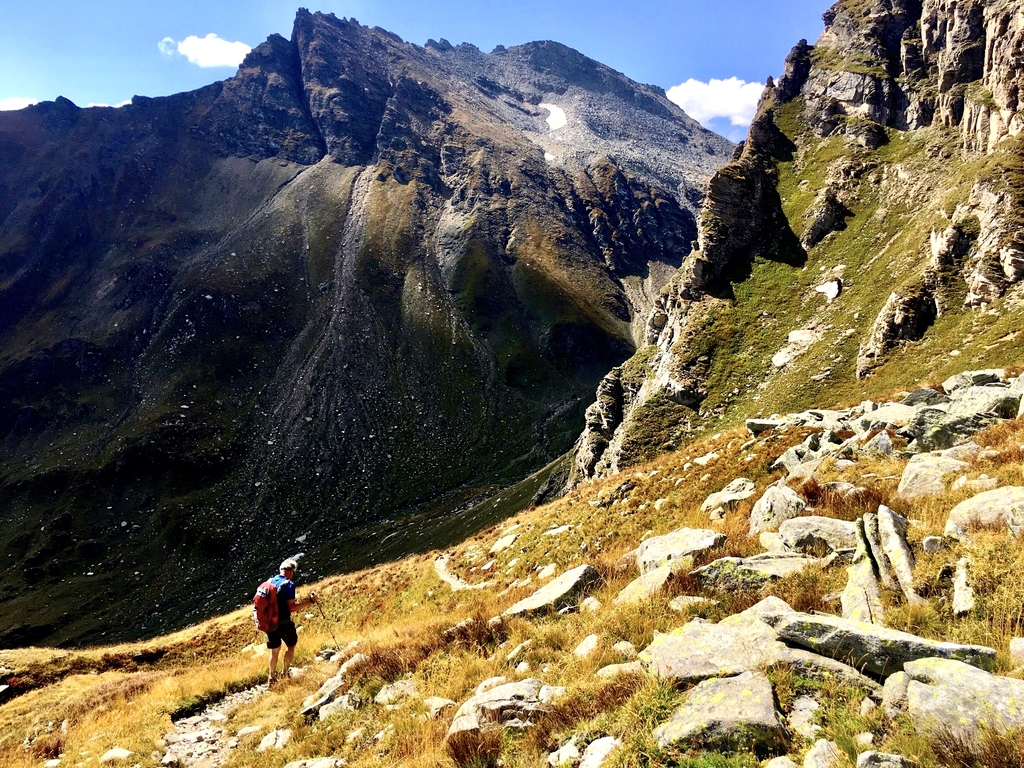
Tuesday 15 september: Rif. E. Margaroli (2194m) - Crampiolo, Albergo La Baita (1780m)
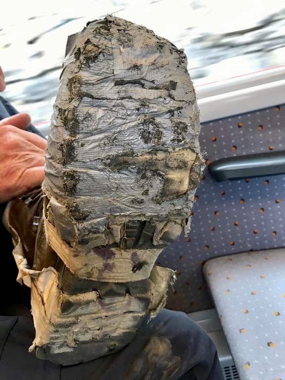
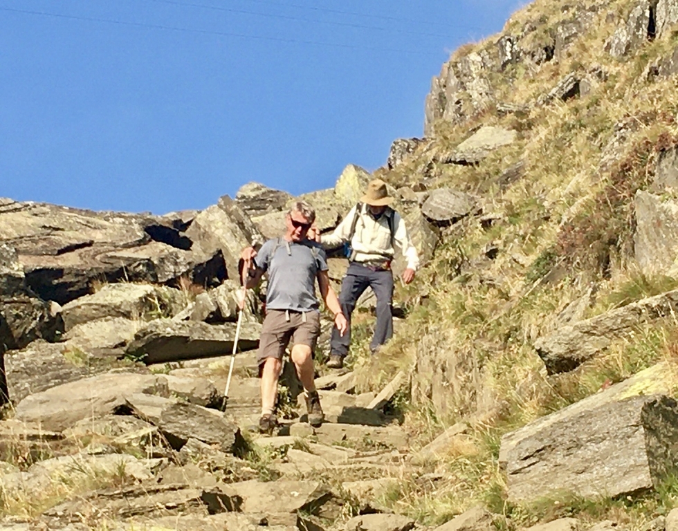
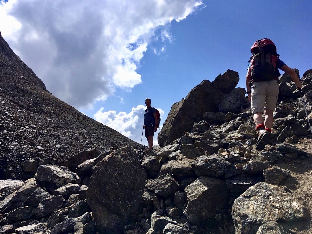
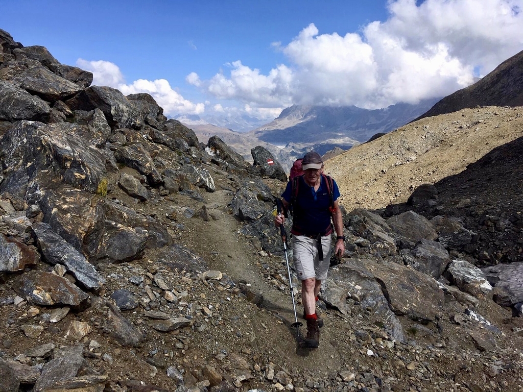
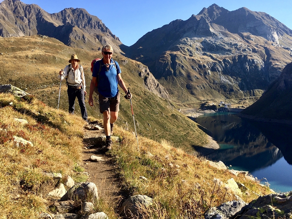
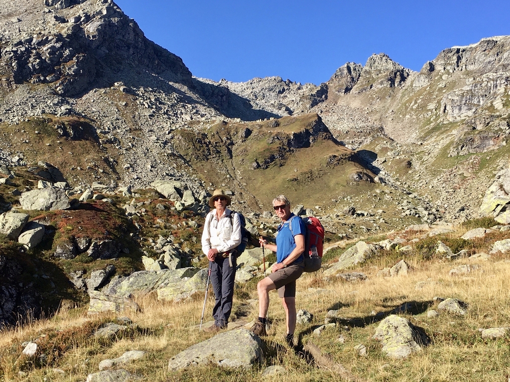
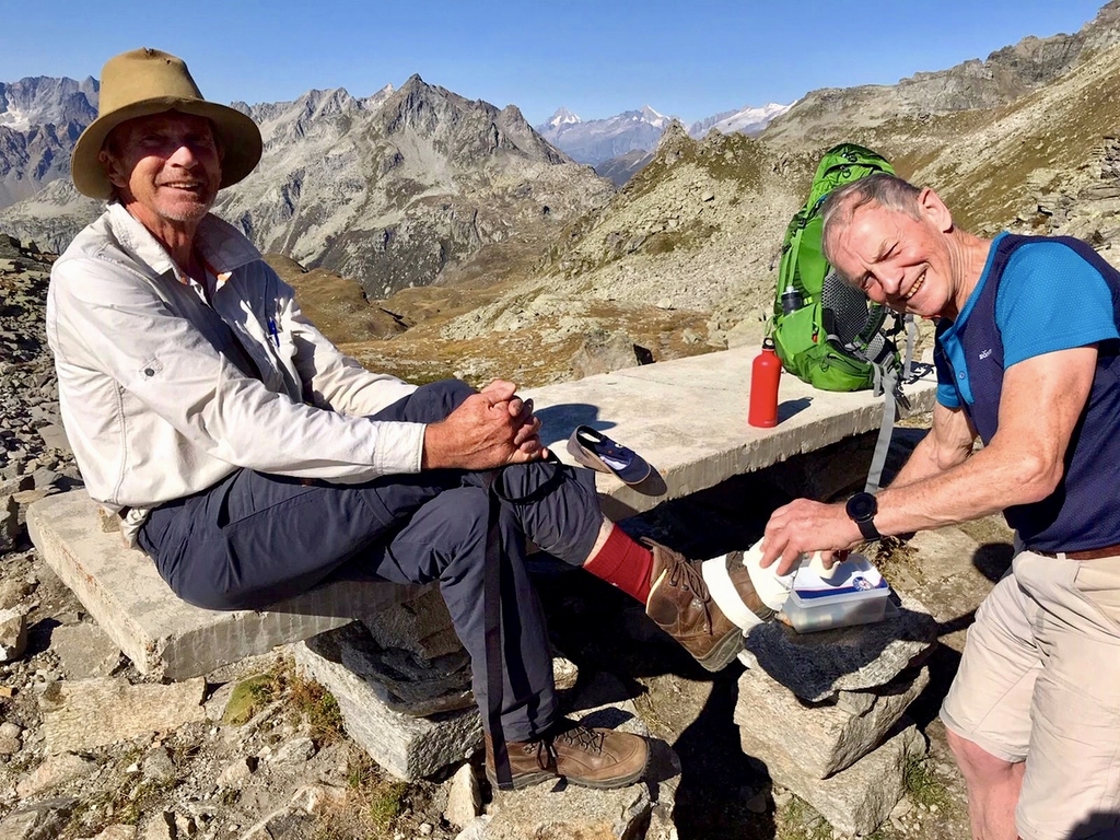
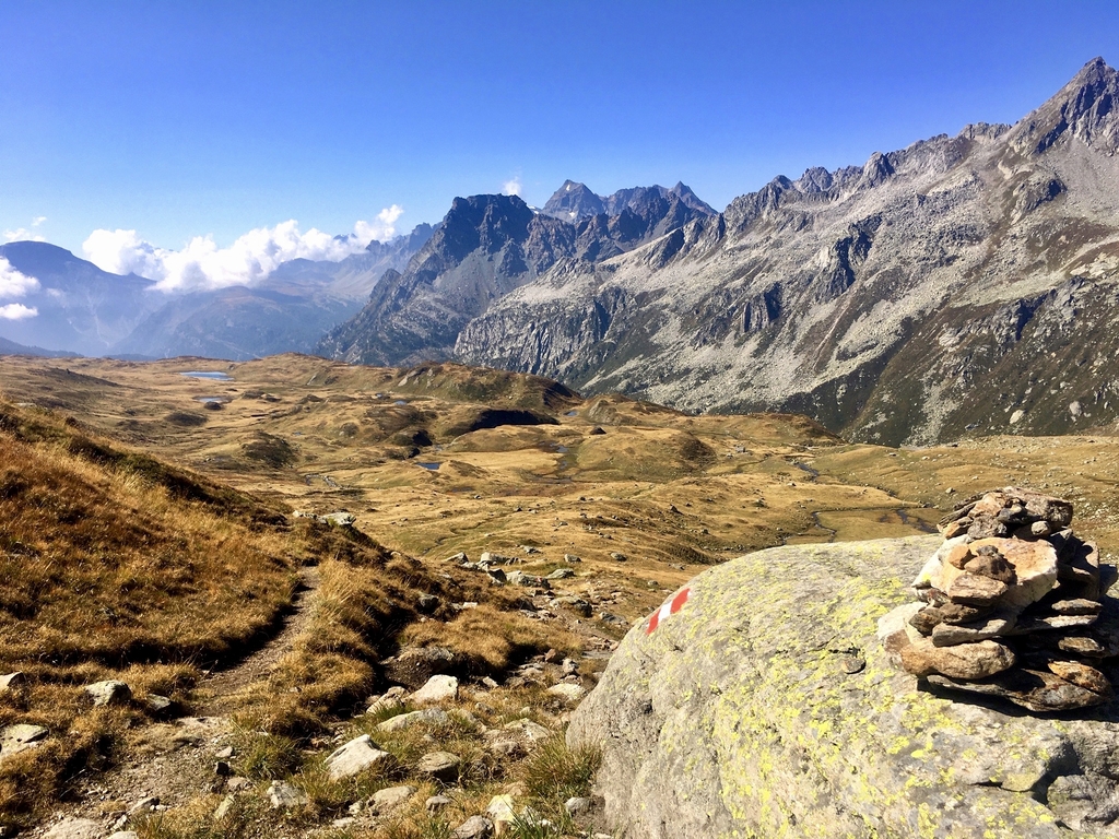
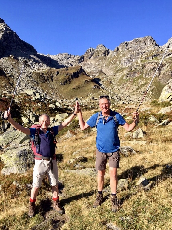
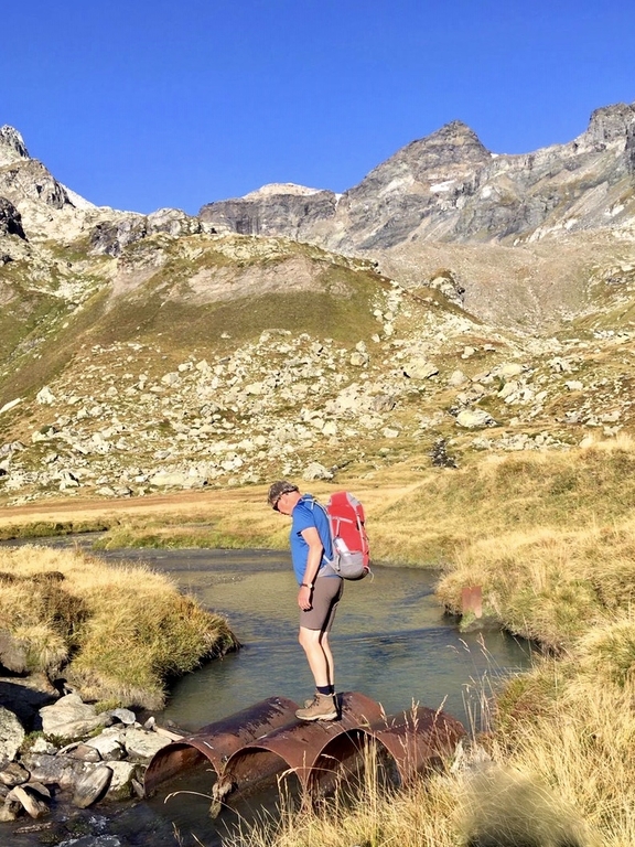
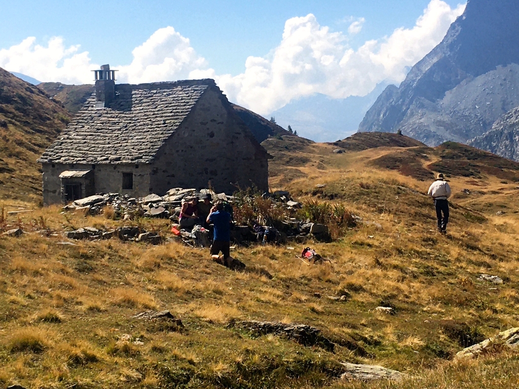
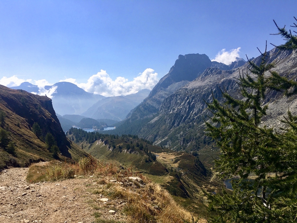
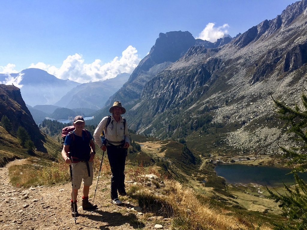
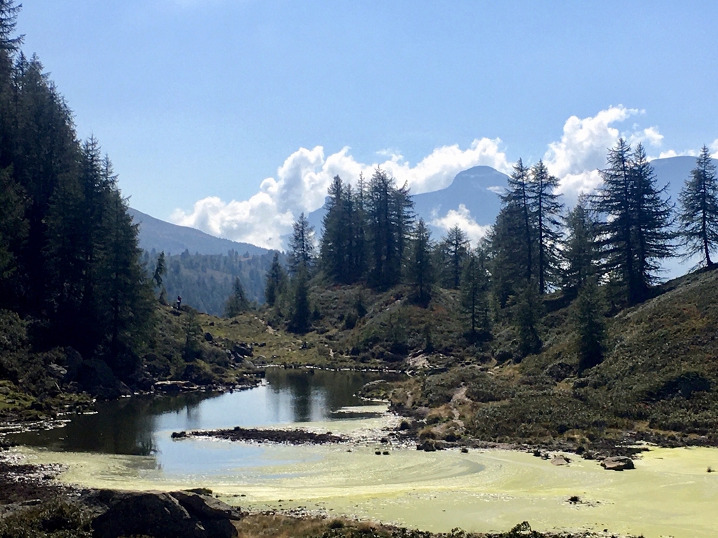
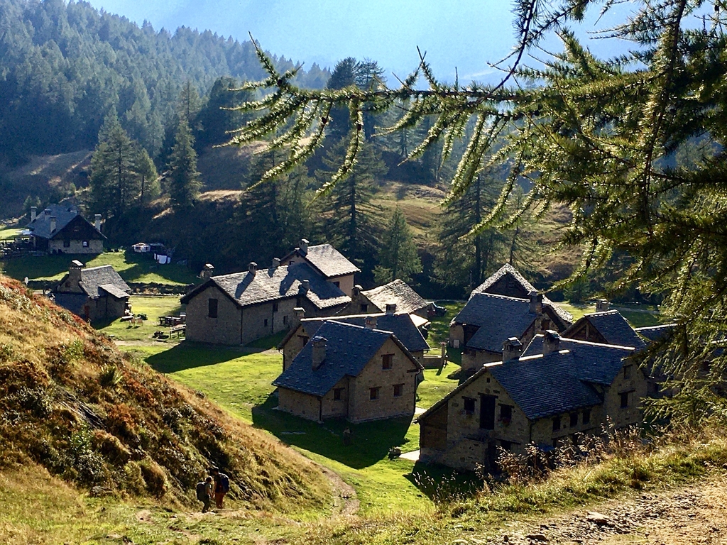
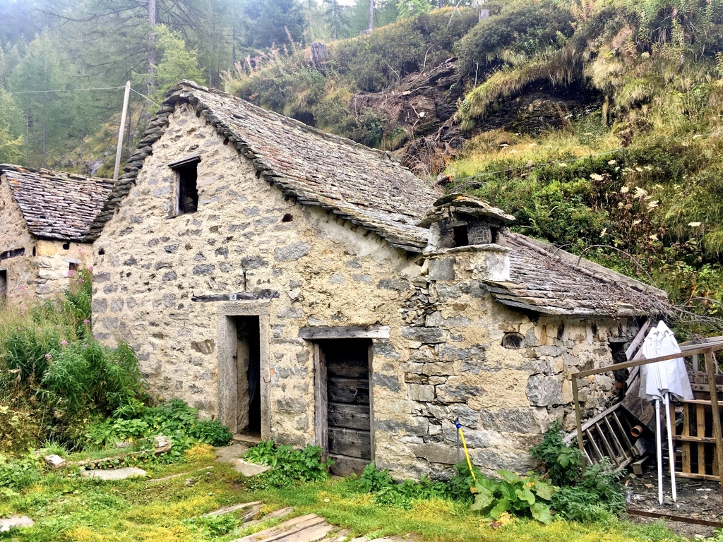
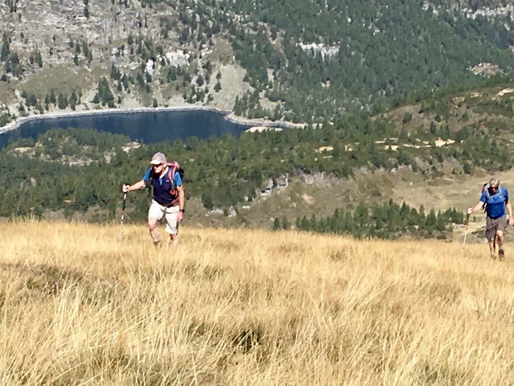
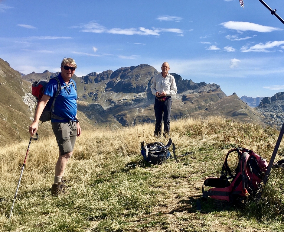
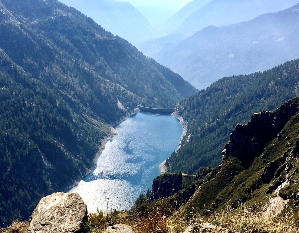
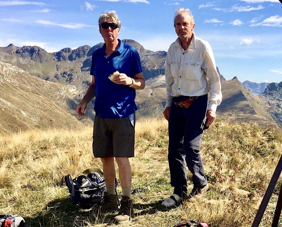
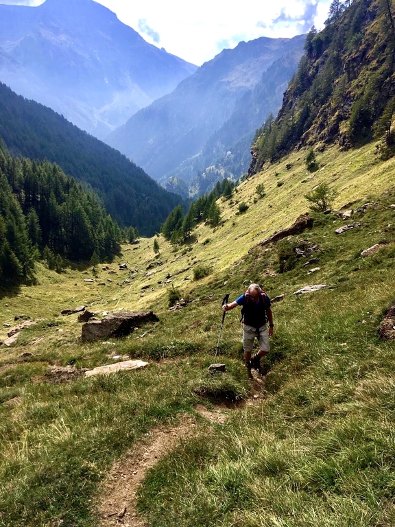
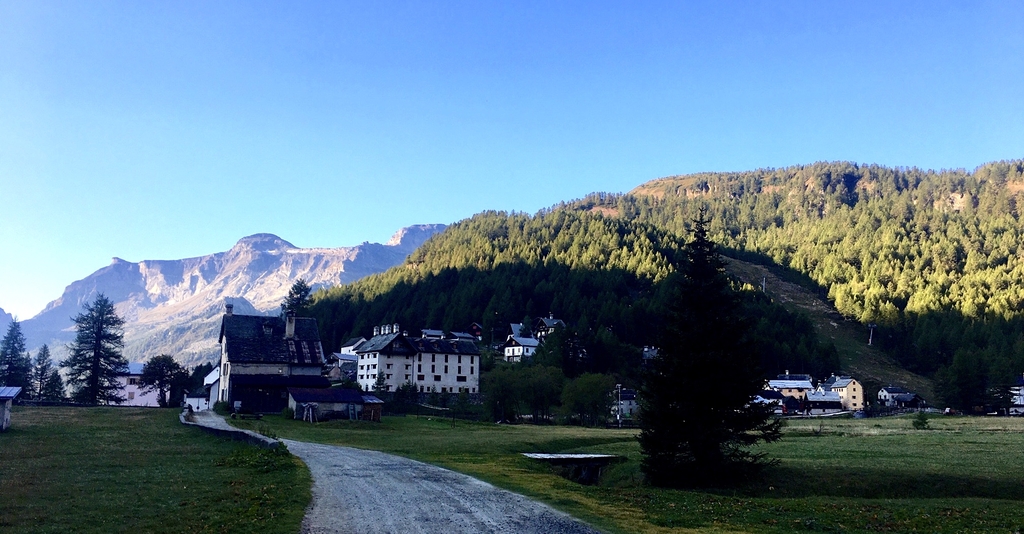
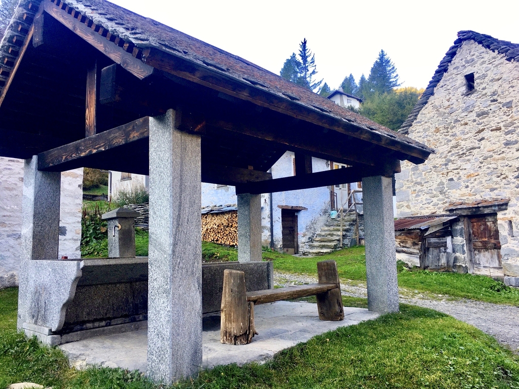
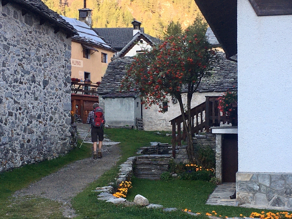
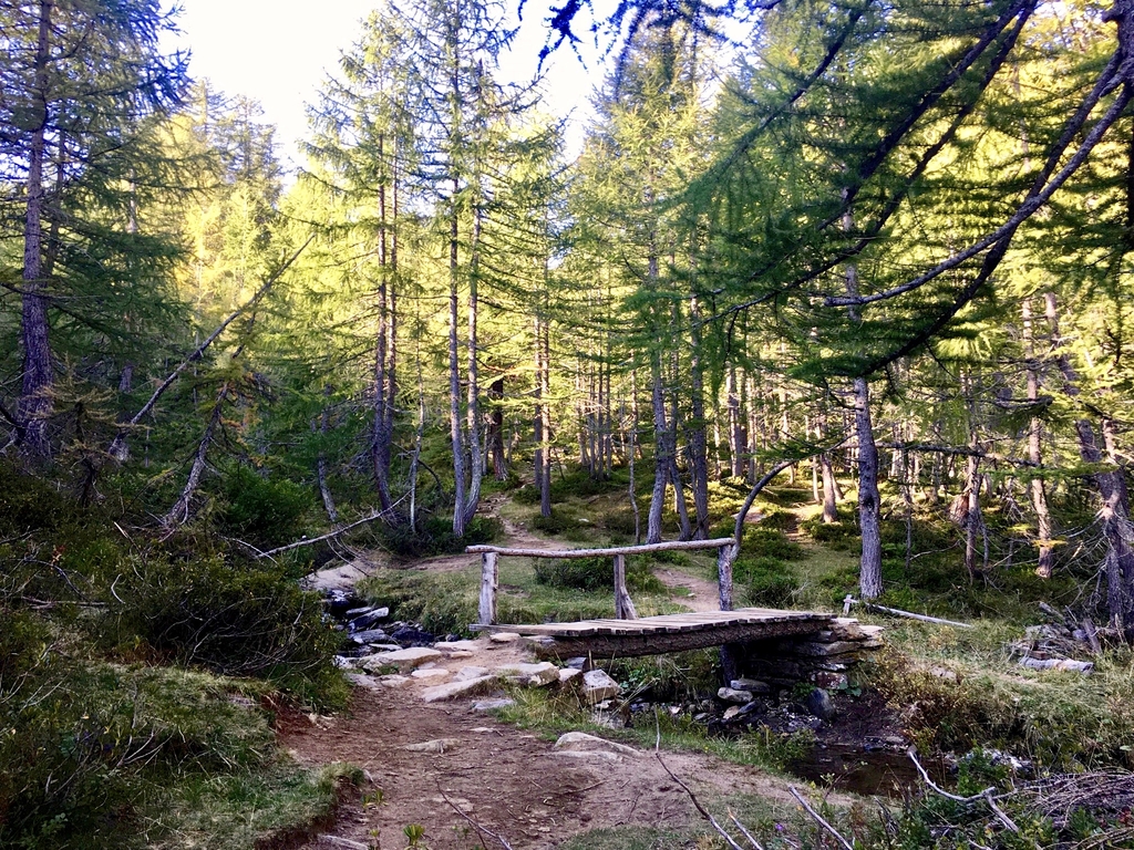
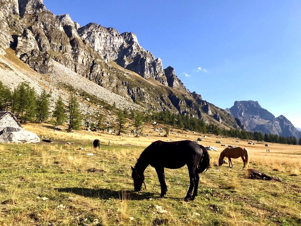
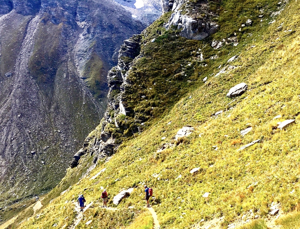
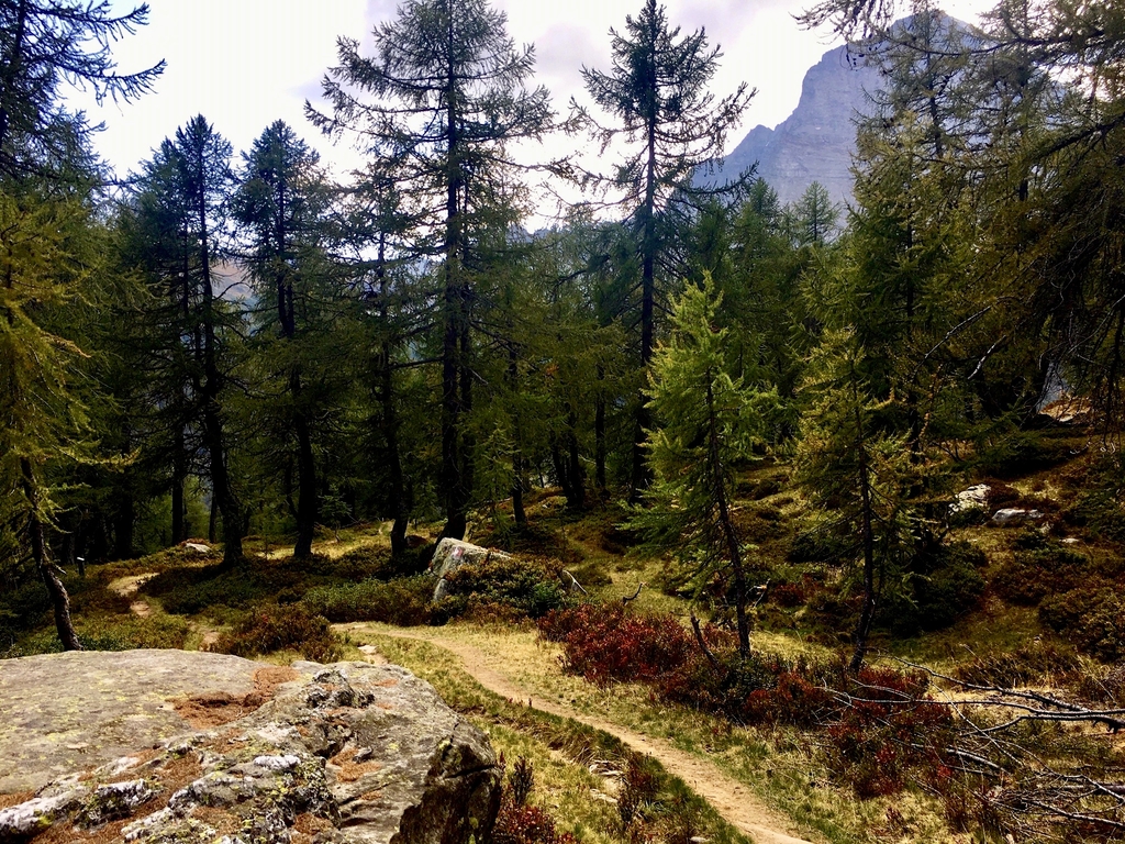
Up again at 7 AM after a reasonable nights rest, a bit warm overnight in the room but with the door cracked open and some air ciculation from the open window it becomes more comfortable, 7:30 breakfast and 8:15 we are on our way. The path leads us along the right side of the lake and the gradually up to the pass at 2580m. I'm doing fine with a normal easy heartrate in Polar zone 1 and sometimes nudging zone 2. It takes us including stops for foto's and the like just about 2 hours to get the pass wher we take a long break to enjoy the windless beautiful morning in the sun, have a snack, have a coffee at the concrete picnic table, talk with some other hikers. Hennie's right boot sole has come loose making walking very difficult. With advice, tape and a roll of surgical gauze donated by a group of female hikers I manage to make an adequate repair bandage around sole and boot that will last us for the week we hope and on which Hennie can walk very well as he says later. Need to find new boots somewhere? No way! On the col there is a sturdy stone/concrete shelter, the Bivaccio Ettare Conti, withinside stacked beds, matrasses and blankets, a counter but without (wood) stove. After more than an hour of this relaxation we continue our way. After an hour of this we continue on our way. I walk easy now at a fast pace ahead of Richard and Hennie who take their time contemplating the scenery and photography. It is quite beautiful with the wide views over the with brown grass covered slopes that edge up against vertical rocky craggy structures jutting out against a bright blue sky. Then we start to see the big lake which as we come closer becomes a fantastic alpine picture: A blue sunlit shimmering lake surrounded by geen slopes with firtrees. Closer we take a small detour to the right to a somewhat higher area with a swamp and a small lake, descend via a small farm house and hit the main path again. Just after 15:00 I arrive at Crampiolo, a surprise view just after a turn to the right of the path down upon this small picturesque mini village. I walk around the village admiring the nice and well maintained houses, the church and then find our place for the night, Rif. La Baita (1790m)
walktime: 4.5 hrs; total time: 7 hrs; distance: 12.9 km; av. speed: 2.8 km/hr; up: 460 m; down: 850 m; weather: like each day untill now, beautiful!
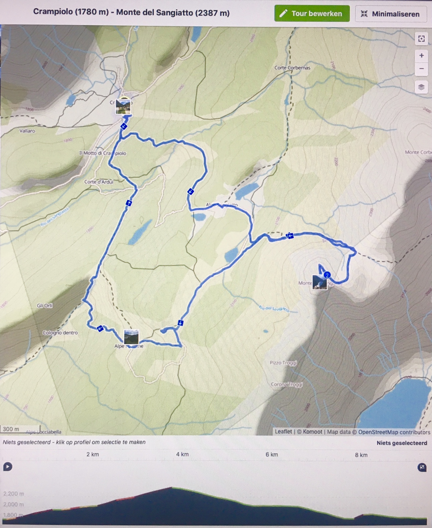
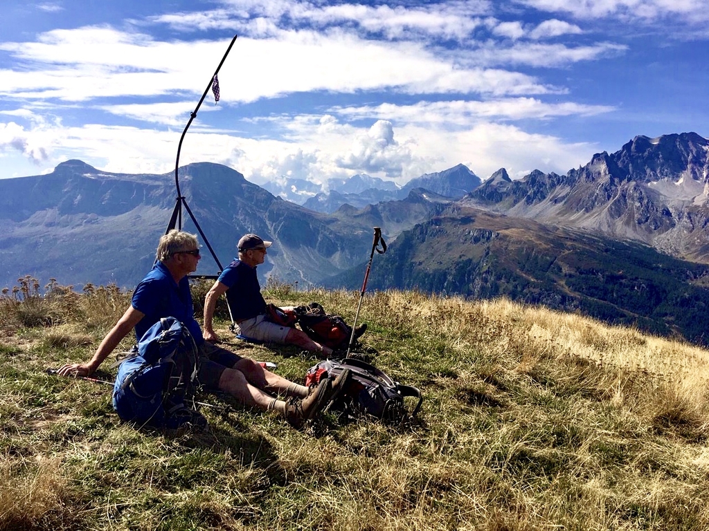
Wednesday 16 september: Crampiolo, Albergo La Baita (1780m) - daytrip to Monte del Sangiatto (2387m)
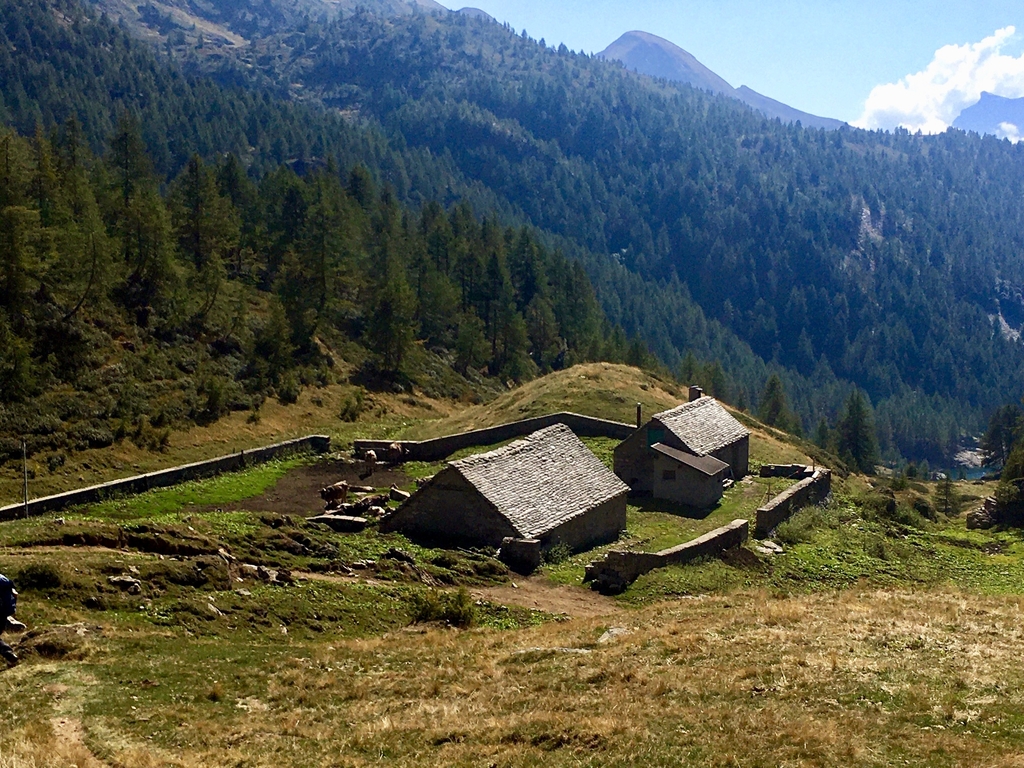
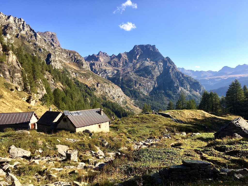
We plan to stay a second night here and do an easy day hike. Just after 10AM we head towards Monte del Sangiatto. Immediatly our path goes up through the woods, hits a dirt road which we follow to milk/cheese farm on a small plateau above swampy lake. The farm is closed due to the late season but we look around a bit and have a drink of water. We continue over open terrain with good views to a col at 2240m where we take a long break in the warm autumn sun. The last 130m up lead you over a 100m traverse over a bad path at the end of which you come to a nice grassy slope to the ronded top of Monte del Sangiatto. Once there we take again a long lunch break enjoying the surrounding views including another lake deep below us. The route back we follow more or less the way we came up but just above the farm from the way up we take a path to the left for another orute back to Crampiolo. It initially runs about horizontal but the dscends steep down to the right with a wooded area to the left and open slope to the right at the end of which we come to a small abandoned farm house. There we take a path a bout 20m beyond the path we should have taken which means we descend 100m to much which we have to vlimb again later in the warm windless afternoon sun makes for a hard climb. After this climb we walk straight on through a nice "mini valley", cross a small road and then the last part down to our Albergo. On the way Hennie's left shoe sole also comes undone, with a tape emergency repair we manage to keep things together, doesn't look too good!
walktime: 3:45 hrs; total time: 6 hrs; distance: 9.8 km; av. speed: 2.6 km/hr; up: 700 m; down: 700 m; weather: again beautiful with a bit more cloud.
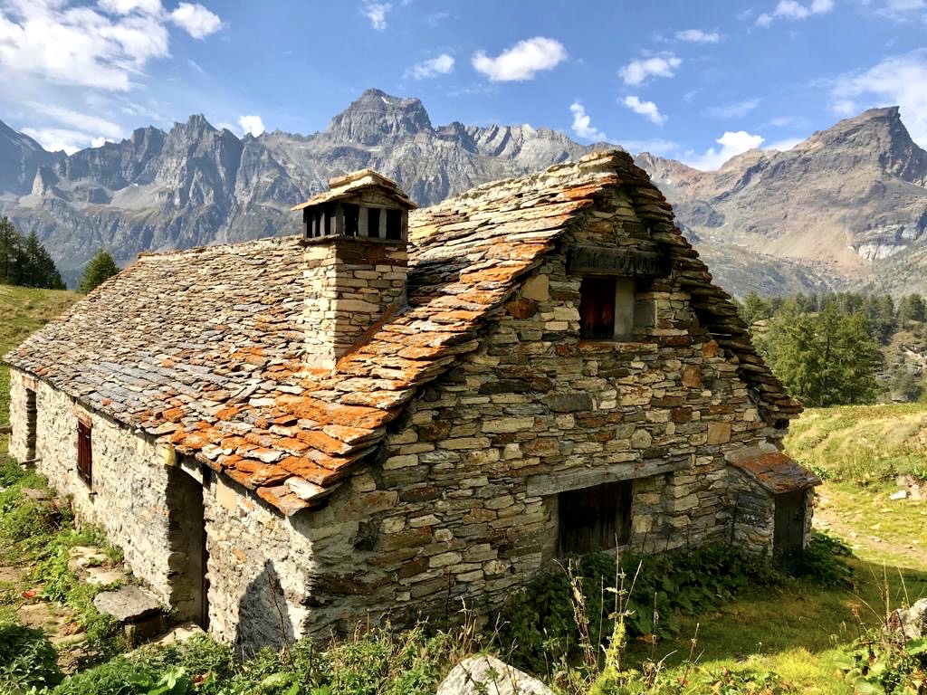
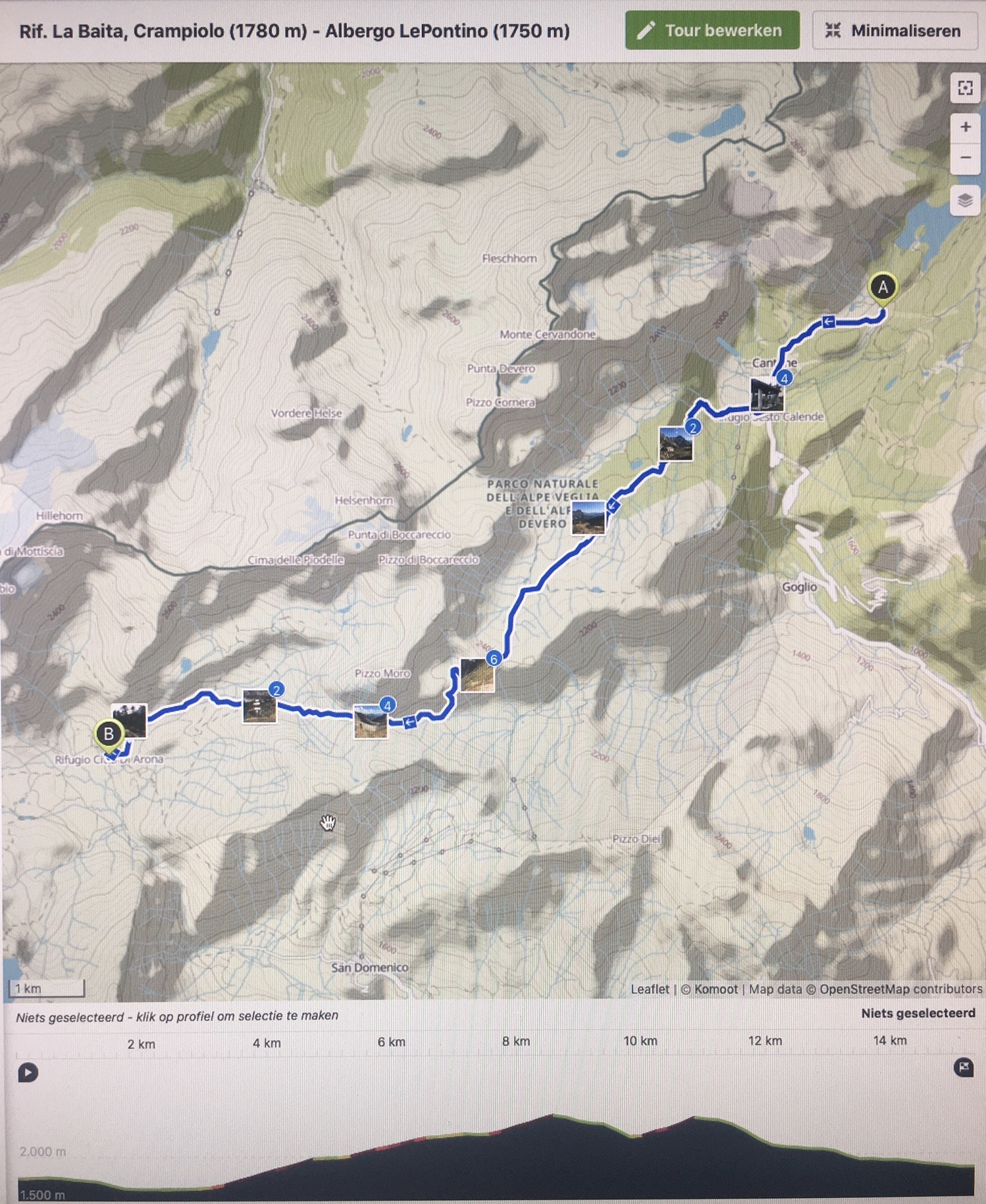
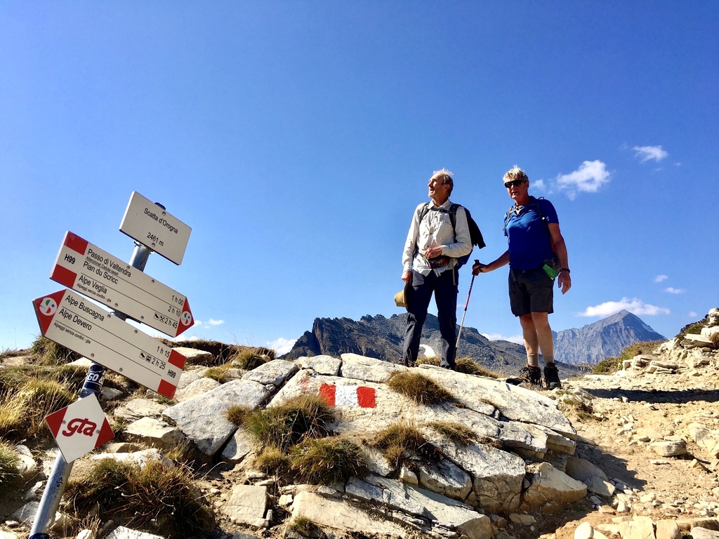
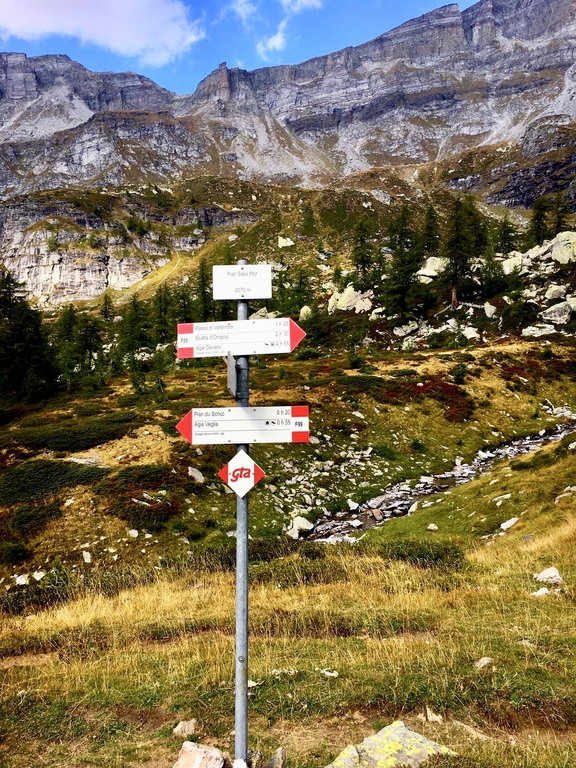
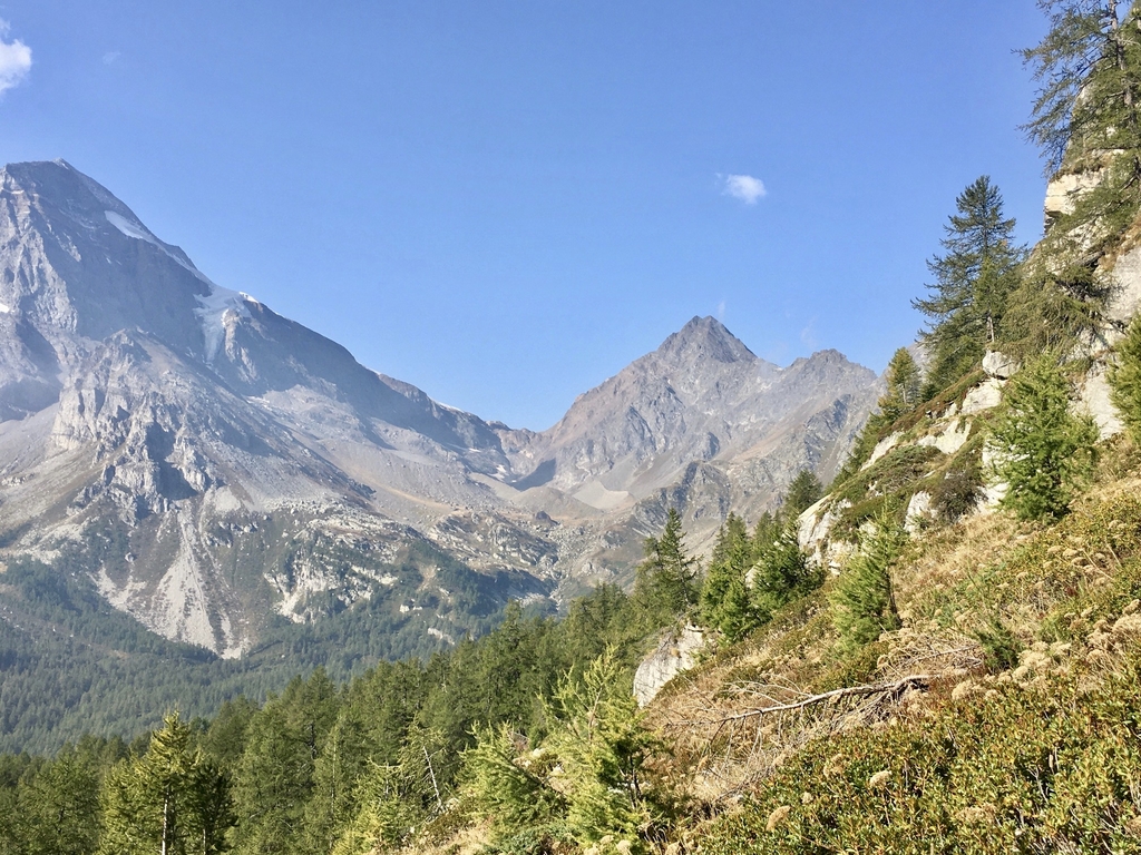
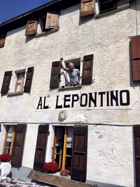
Thursday 17 september: Crampiolo, Abgo La Baita (1780m) - Rif. Le Pontino, Alpe Veglia (1750m)
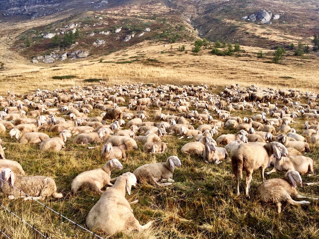
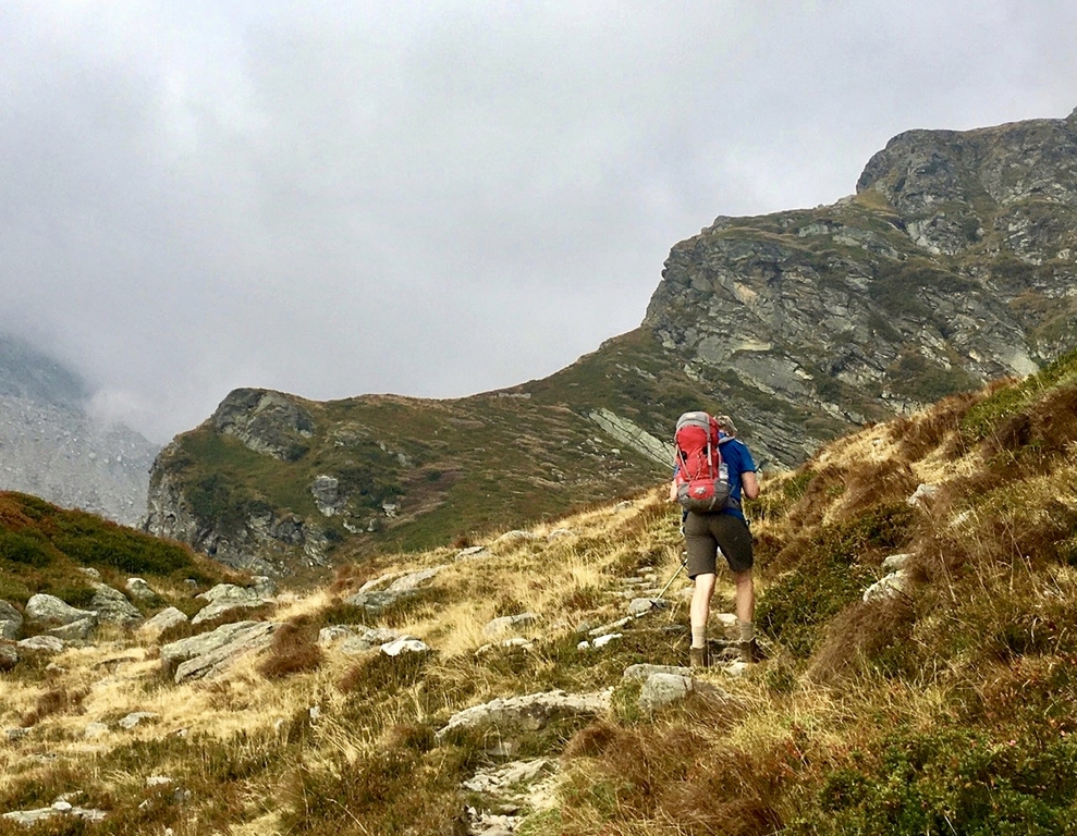
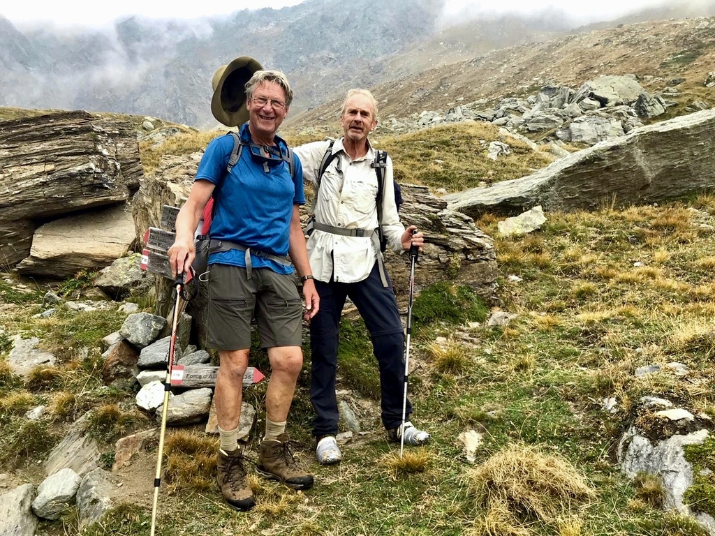
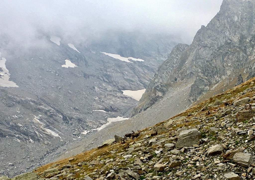
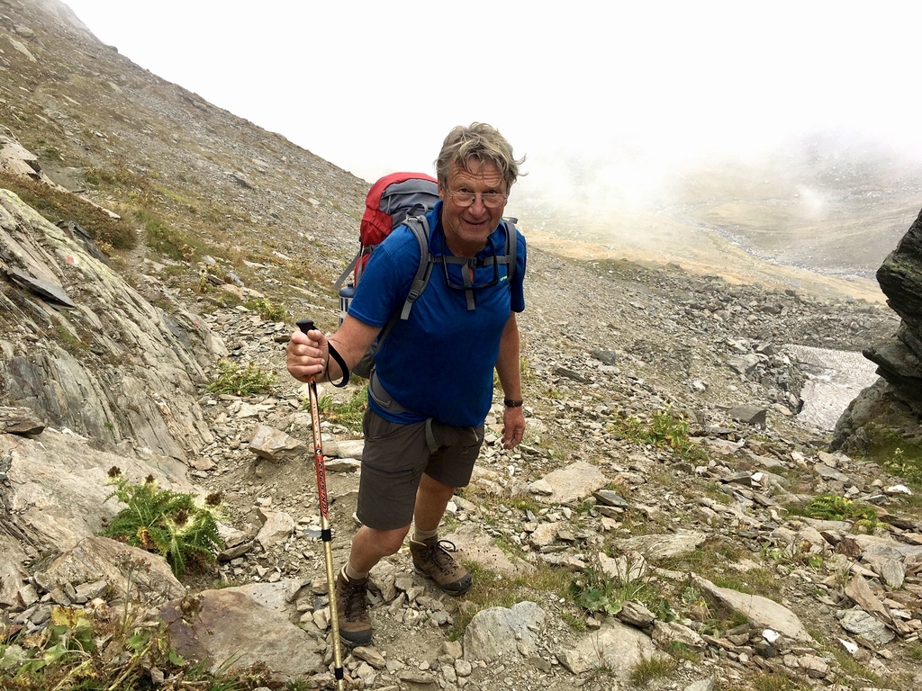
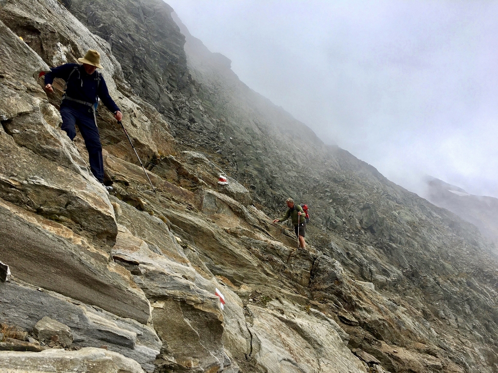
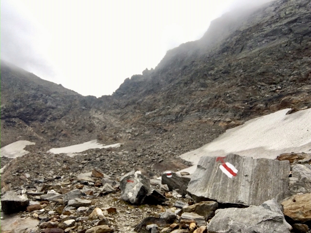
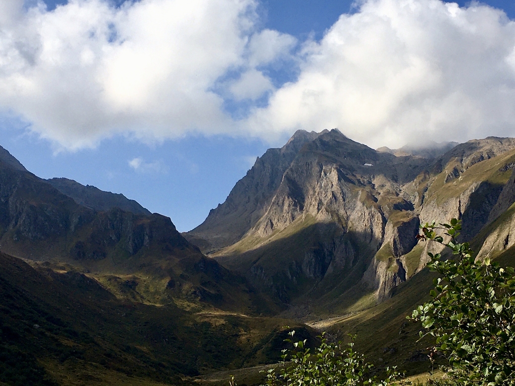
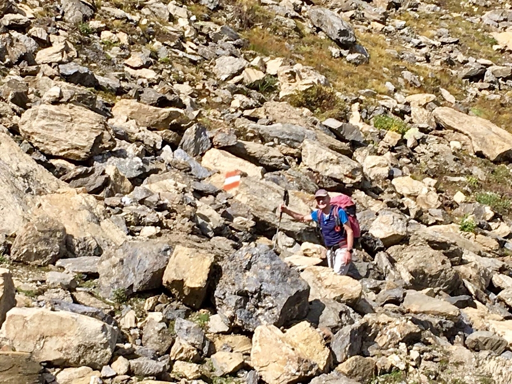
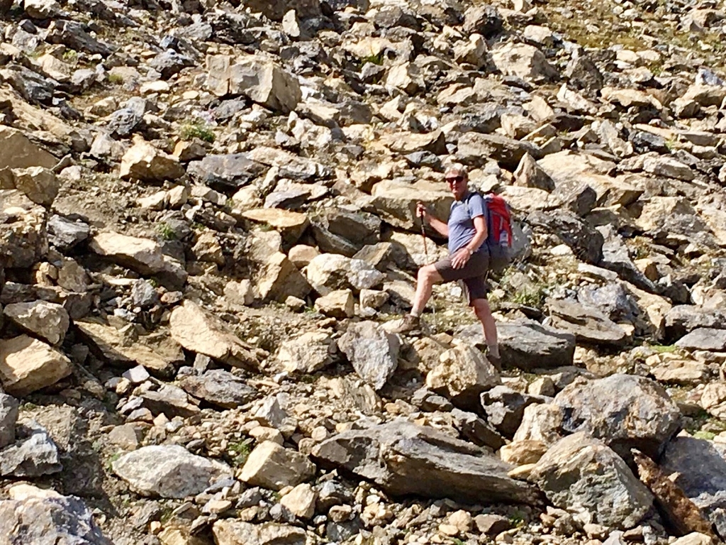
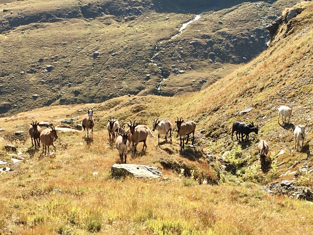
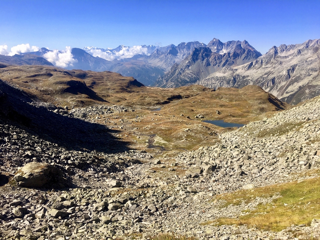
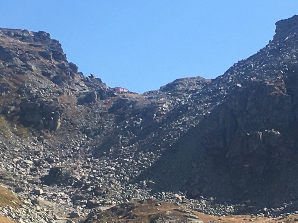
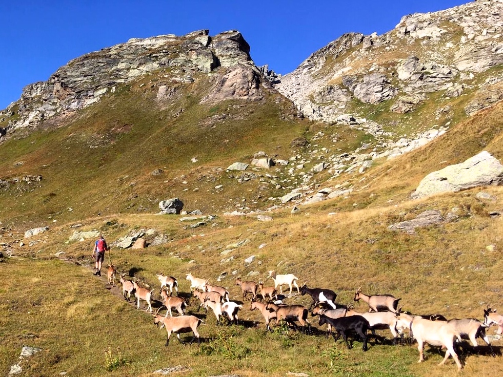
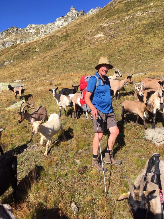
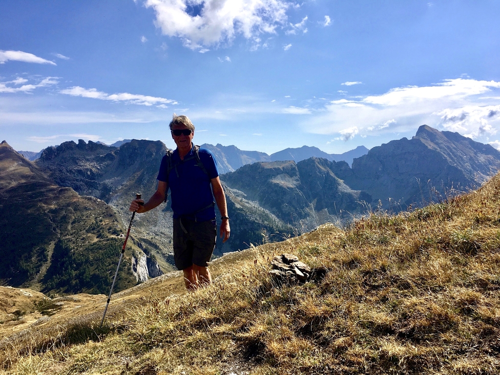
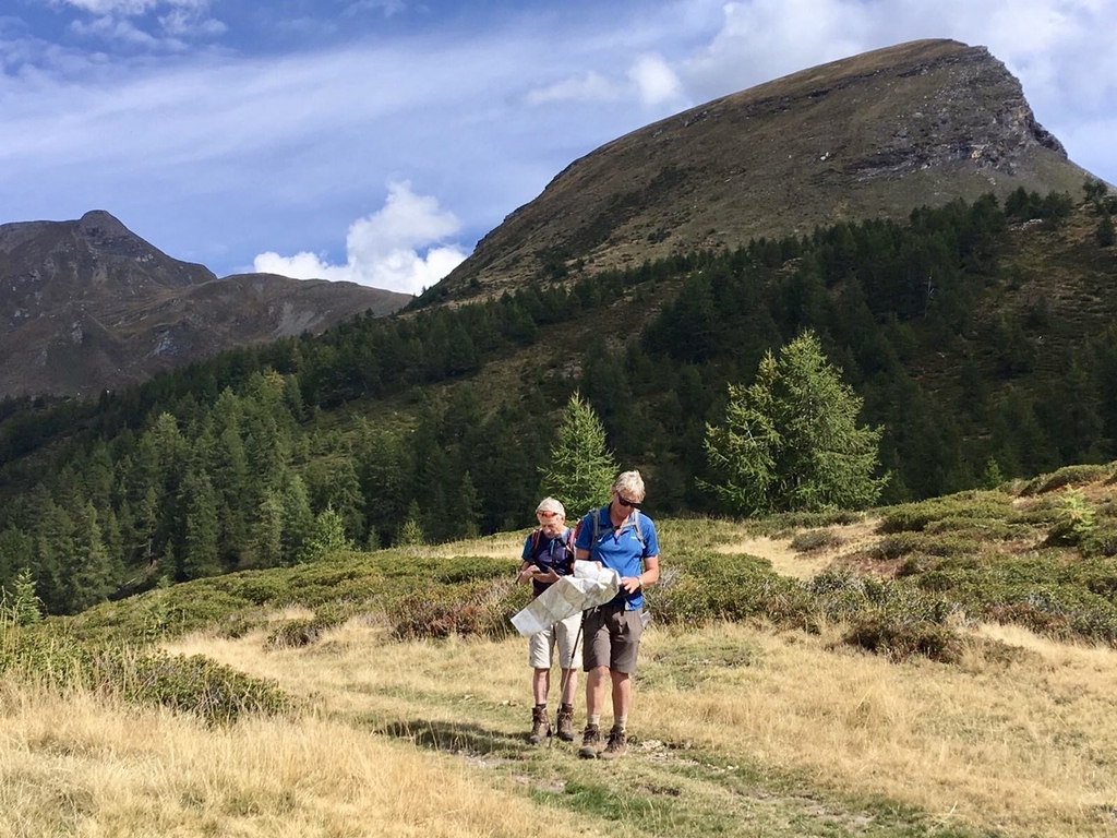
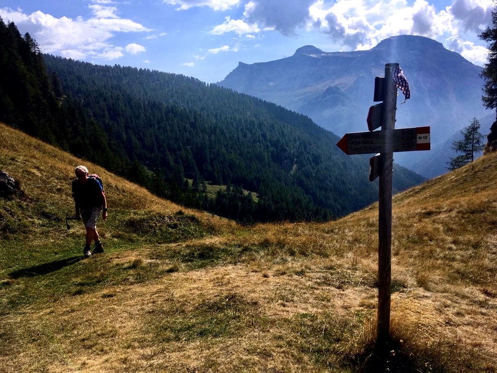
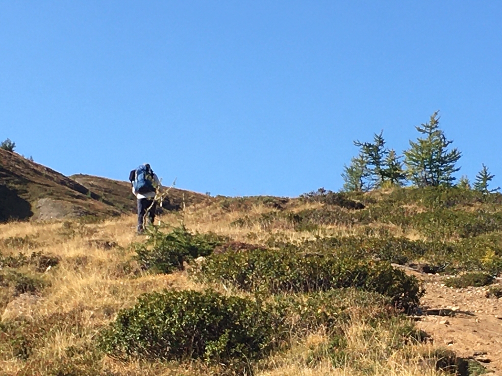
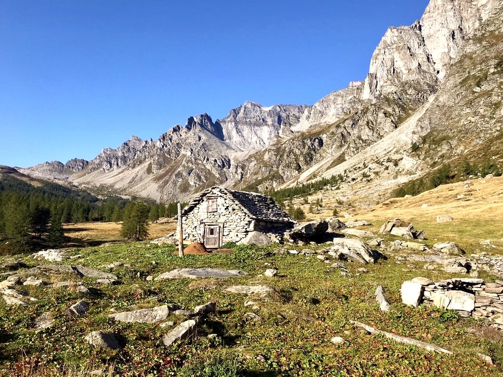
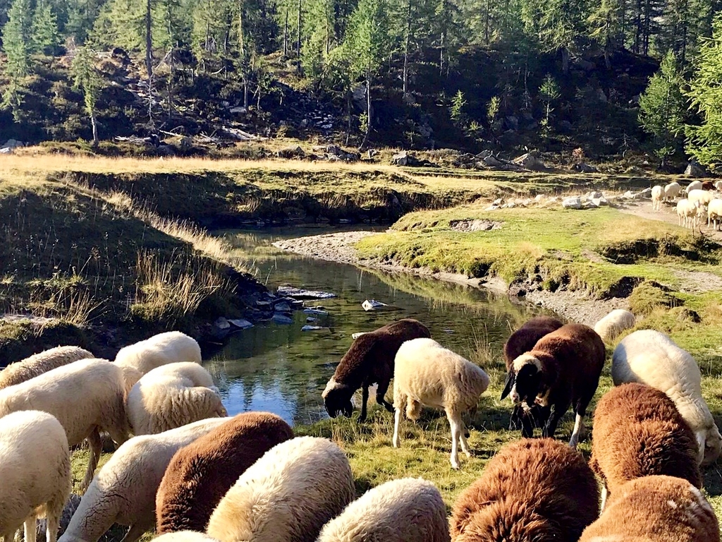
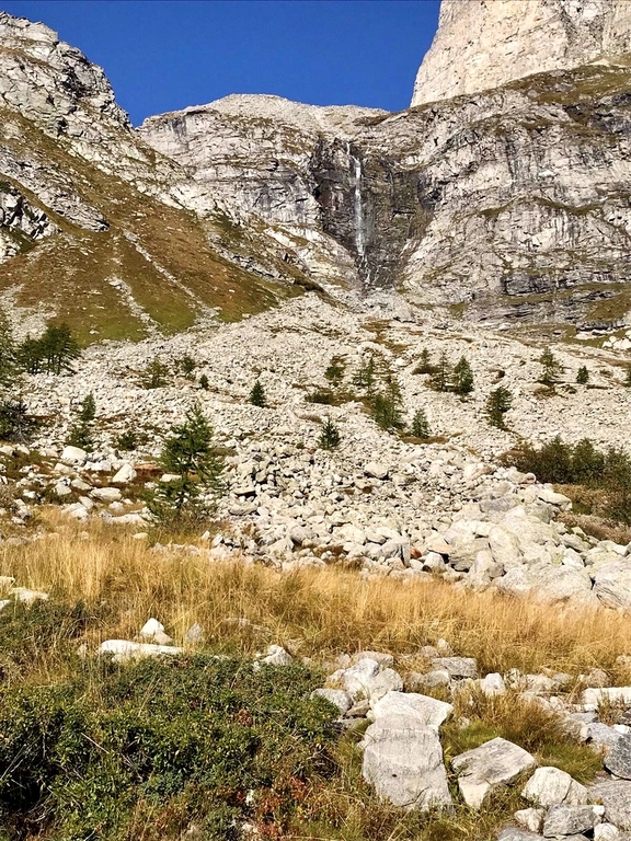
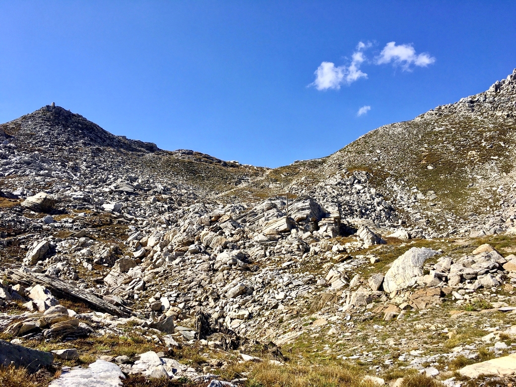
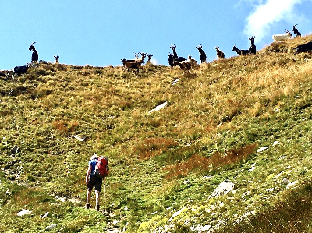
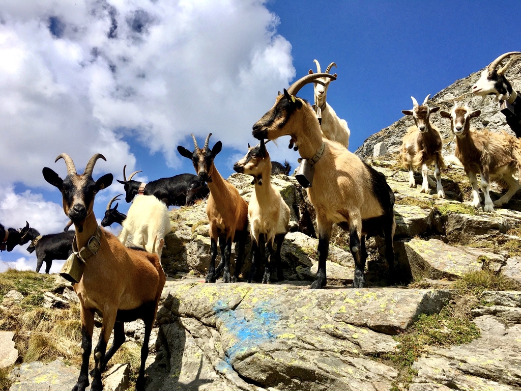
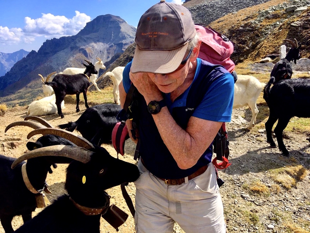
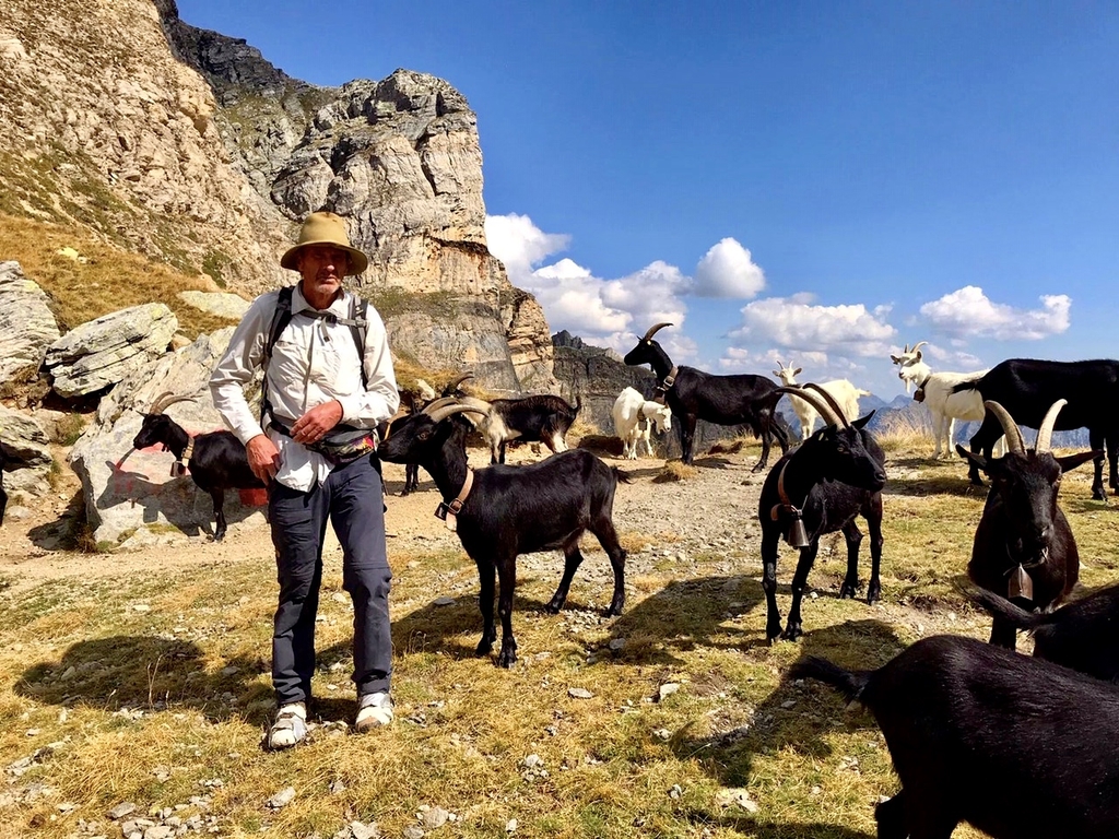
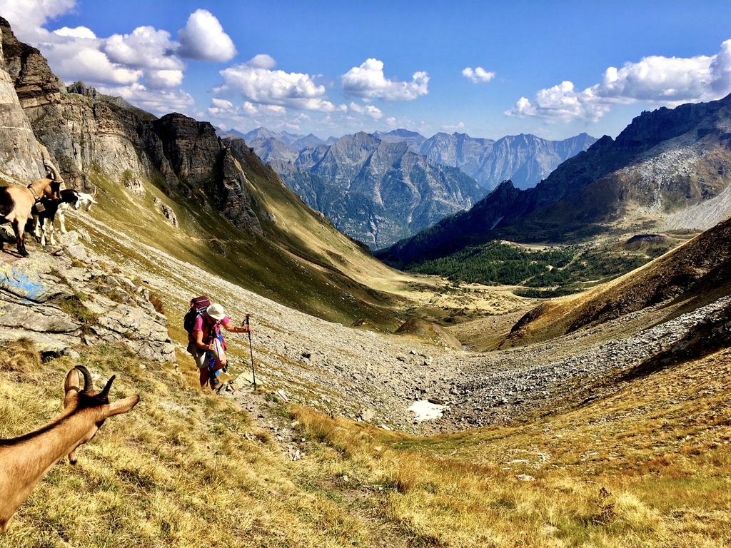
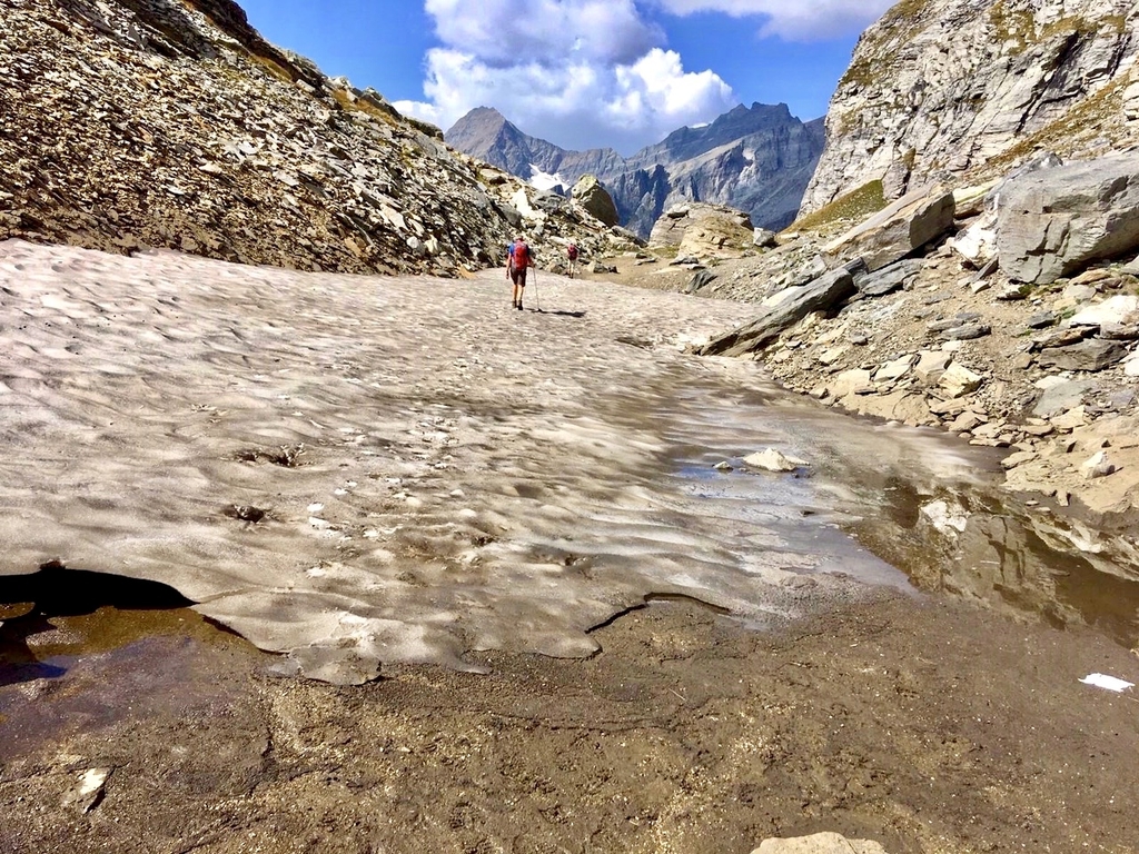
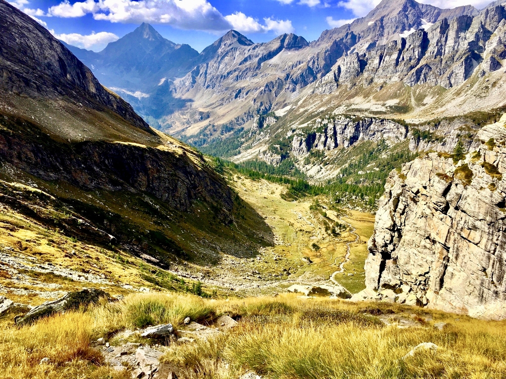
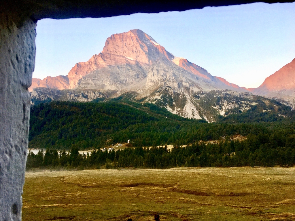
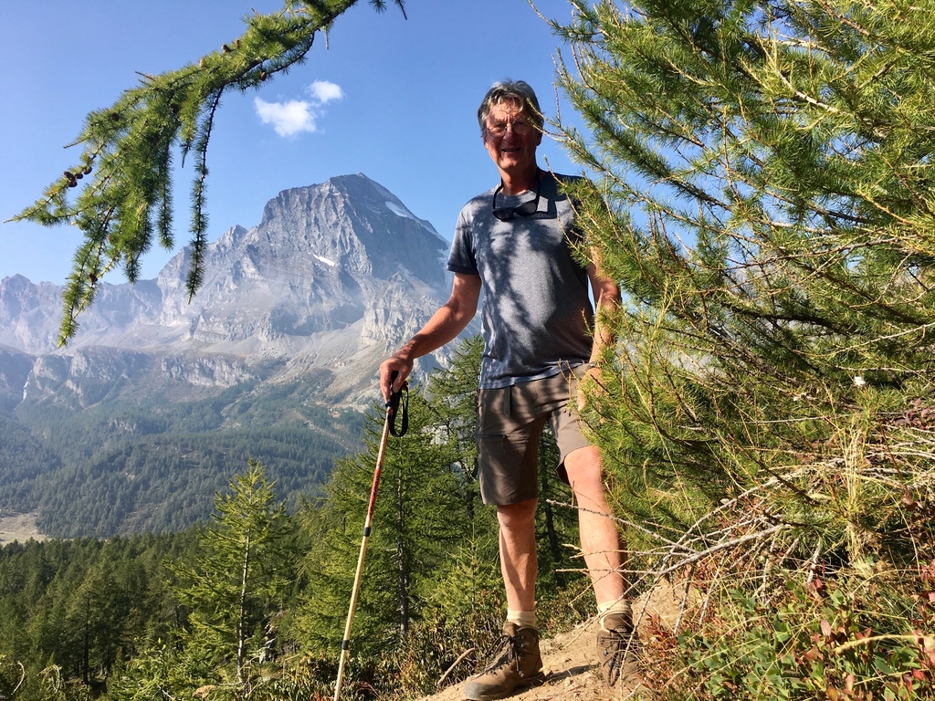
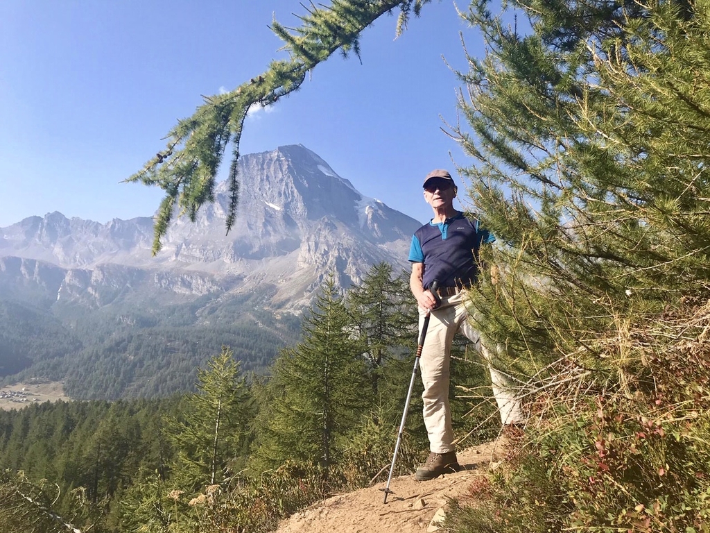
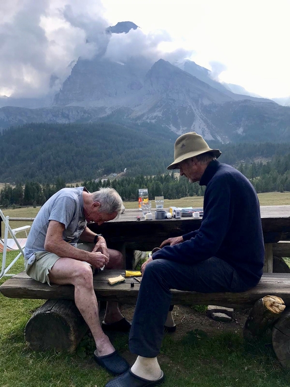
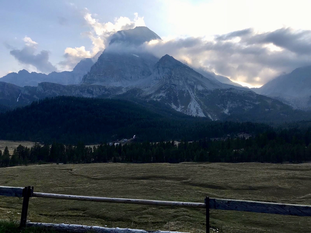
Today will be a long day, we get up earlier and 7:45 we are on our way. A fine place to stay this albergo, also no trouble at all to take along some bread, cheese and coffee for on the way. A dirtroad descends about 150m to Devero (1630m) but then the long climb starts. Our ways part just after the village, Richard takes the official GTA route, I prefer the alternative route because the guide says it's shorter and with 150m vertical. Hennie's shoes are kept together with bandage and tape therefore he opts for my route but I suspect his real reason to not let this 78 year old alone, his medical concious probably speaks up! We agree to wait for each other at the point where our trails join, about 2 hrs hiking from here. Photos 11 to 17 in the gallery are from Richard's route. Our route goes upwards through shady woods, once in while a we spot Richard in the sun on the other side of the creek thundering downwards in between us. After a while the trees gradually thin out and we come out in open terrain, again with beautilful vistas all around us. To the right, northwards, the steep rocky mountain ridge under which Richard walks marks the border with Switserland. Already before our meeting point we spot Richard more or less parallel to us and we arrive at about the same time at the intended rendezvous. After a short break we walk on up to today's first pass (Punta d'Aranga, 2460m), then down a short steep section into a tiny valley for our lunch break in the sun near a small (dried out) lake. The path then continues steep down to 2200m where we come upon an unexpected intersection. The standard route continues straight on to traverse a steep earthen slope and is closed off with ribbon while the alternative continues steep down over a well prepared zigzagging path supported by logs. Richard and I take this recommended route and after 140m further down we hit an existng path leading us back up to the right to the pass at 2430m. There we are awaited by Hennie, who was a bit behind us and took the "prohibited" standard and shorter route, to our concerns as the traverse on the steep earthen slope looks looks very precarious to us and his taped up shoes are not the safest! Hennie on the other hand did not experience any problems and the worst part was secured by cables. On this second pass we are welcomed by a large herd of very goodlooking healthy goats, very nosy and nibbling on everything, even taking a drink from my flask is impossible with these pushy goat heads, so this has to wait. On the pass we walk over some old snow and then down to Alpe Veglia, initially a steep path, later over alpine meadows, nearly miss the intersection leading to Alpe Veglia but thanks to my Komoot navigation App. we notice our mistake and find the correct trail through a nicely open wooded section and 15:30 arrive at Rif. Le Pontino (1750m). A very pittoresque wide open valley, Mte. Leone with a snowcovered top at 3553m prominently in front of us, treed slopes to the left below, an alpine valley to the right, in front and above. A beer, coffee for Hennie, Room 9 with a bunkbed and a double bed, good bathrooms with showers, took a brief afternoon nap and the finally dinner at 7:30pm.
walktime: 6 hrs; total time: 7:45 hrs; distance: 15.7 km; av. speed: 2.6 km/uur; up: 1070 m; down: 1100 m; weather: bright sunny day, 15 - 25 C; weather: a few clouds, no to soft wind.
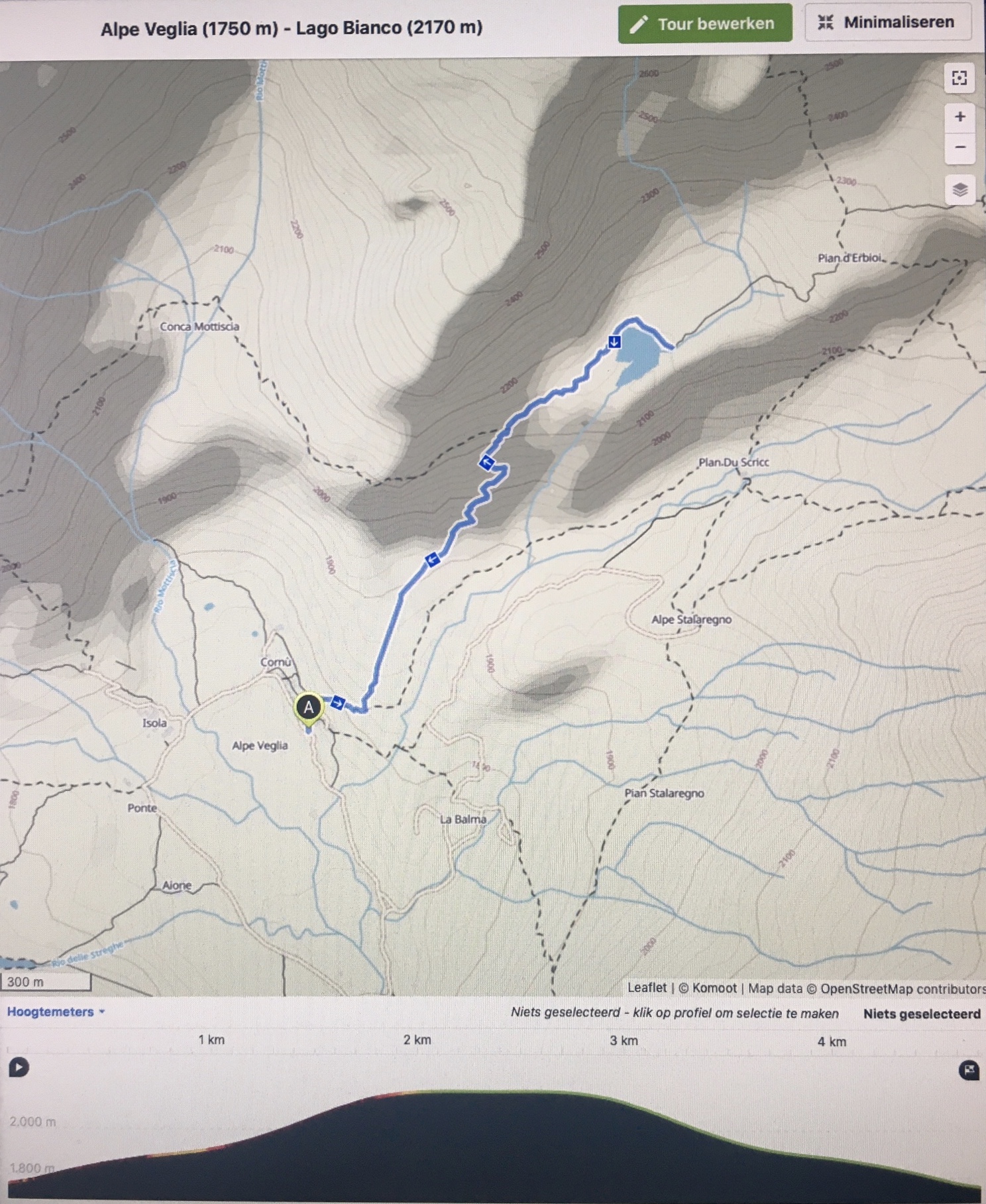
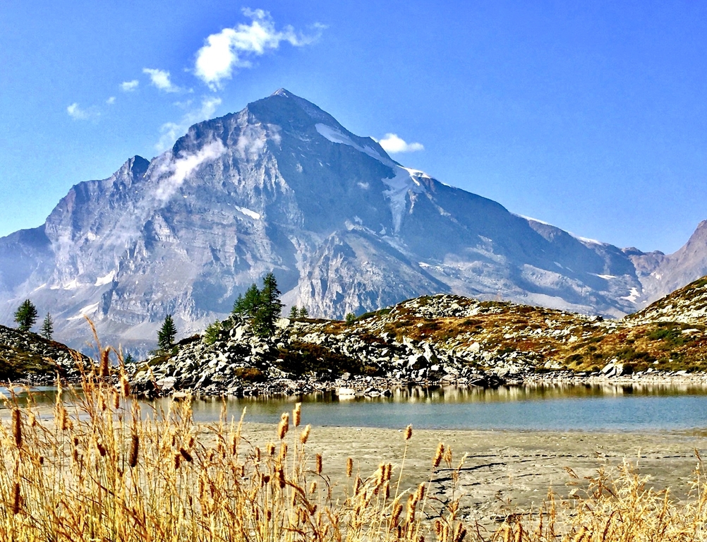
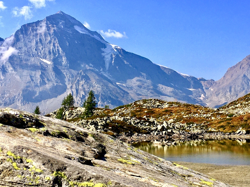
Friday 18 september: Alpe Veglia, Albergo Le Pontino (1750m) - day tour to Lago Bianco (2157m)
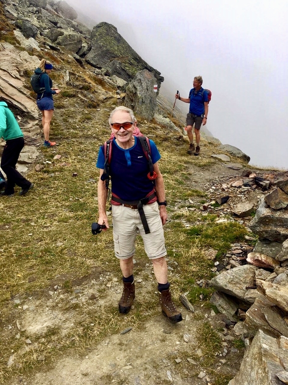
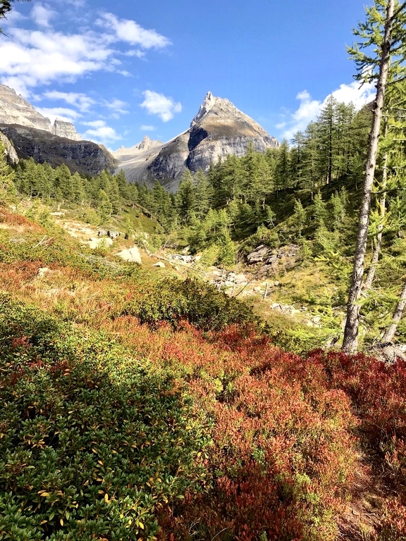
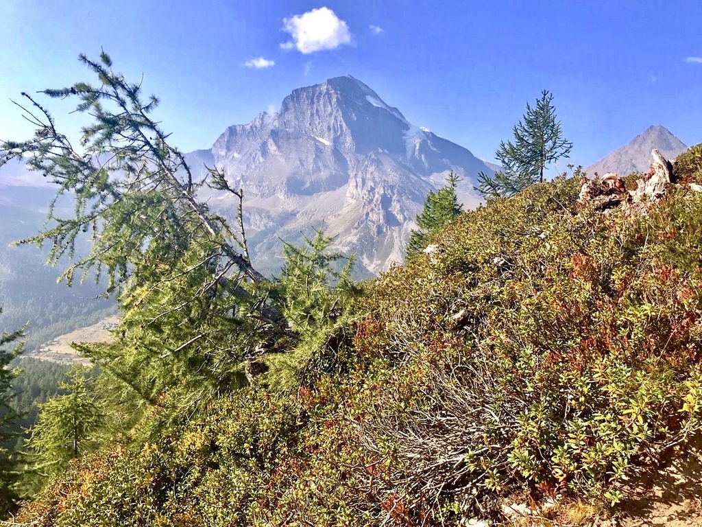
Today is a rest day. After a good nights sleep with a late 7:30 wake up and a good breakfast Richard and I hike up to Lago Bianco (2157m). Hennie decides to stay here and does an long hike around the valley as we later hear from him. At an easy pace we hike through a widely spaced wooded area and gradually come above the treeline from where snowcovered Mte. Leone manifests itself imposingly. We walk arond the small lake, the water level is low, and picking and eating wild blueberries on the way down arrive back at Le Pontino at 13:00. Coffee, lunch, soup, smalltalk with our host and a lady neighbour. Later, before the evening meal, I have another go at Hennie's shoe repair so they will last one more day, tomorrow our final and long day. We get a large tube od rubberglue , remove all loose matter from in between uppers and soles, apply an ample layer of glue, fix with smalle pieces of tape the uppers to the soles, apply bandage gauze all around uppers and soles to keep it together, cover that with medical tape and a final layer of ducttape. They fit nice and tight says Hennie!
walktime: 2:15 hrs; total time: 3 hrs; distance: 4.7 km; av. speed: 2,1 km/uur; up: 420 m; down: 420 m; weather: no change, beautiful!
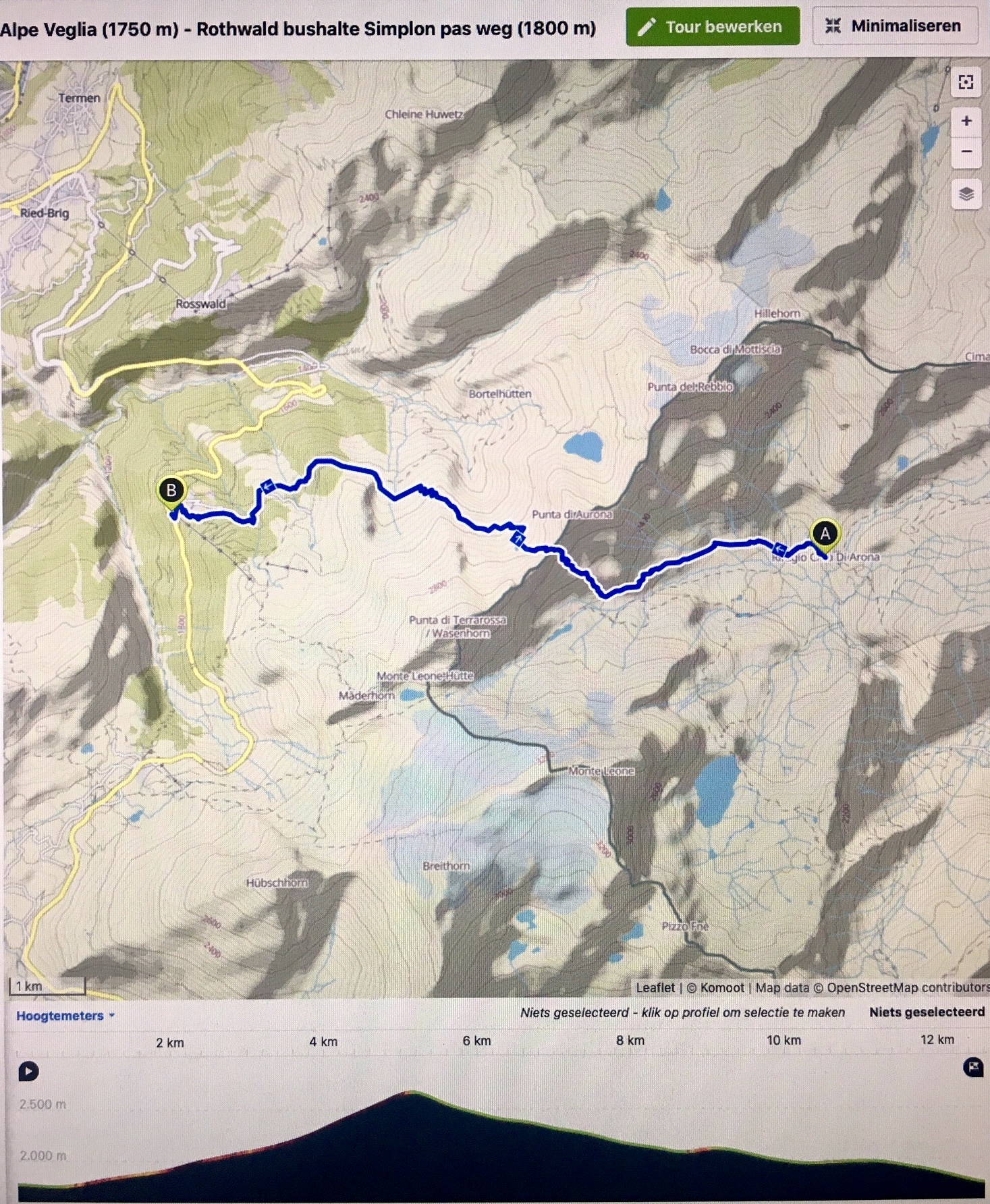
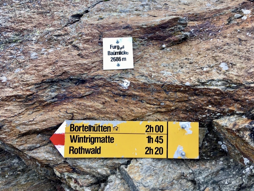
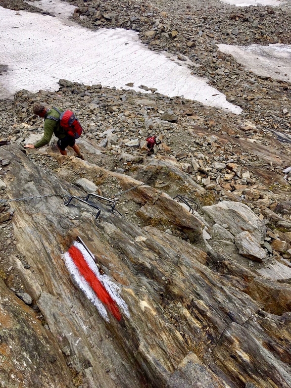
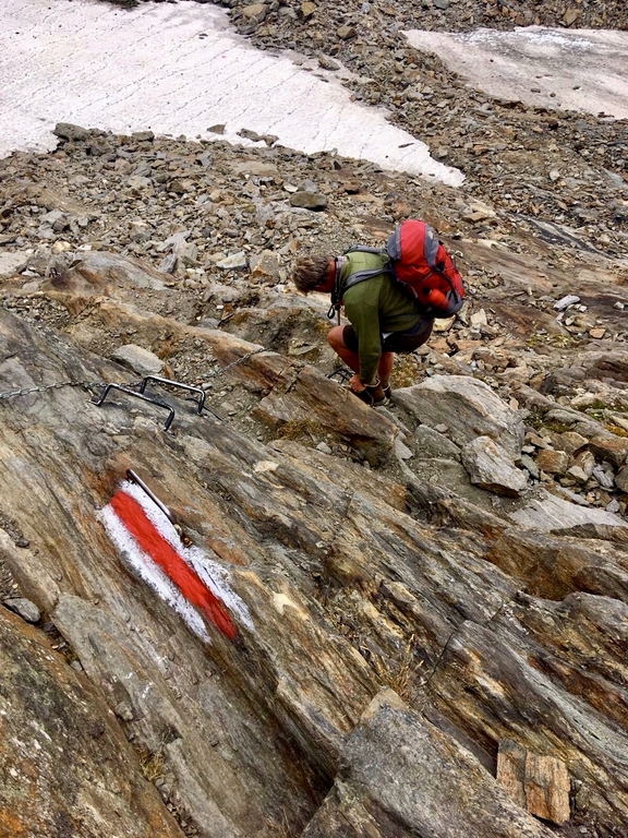
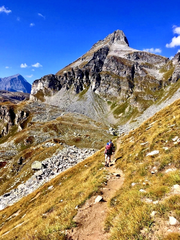
Saturday 19 september: Alpe Veglia (1750m) - Simplonpasroad near Rothwald (1800m)
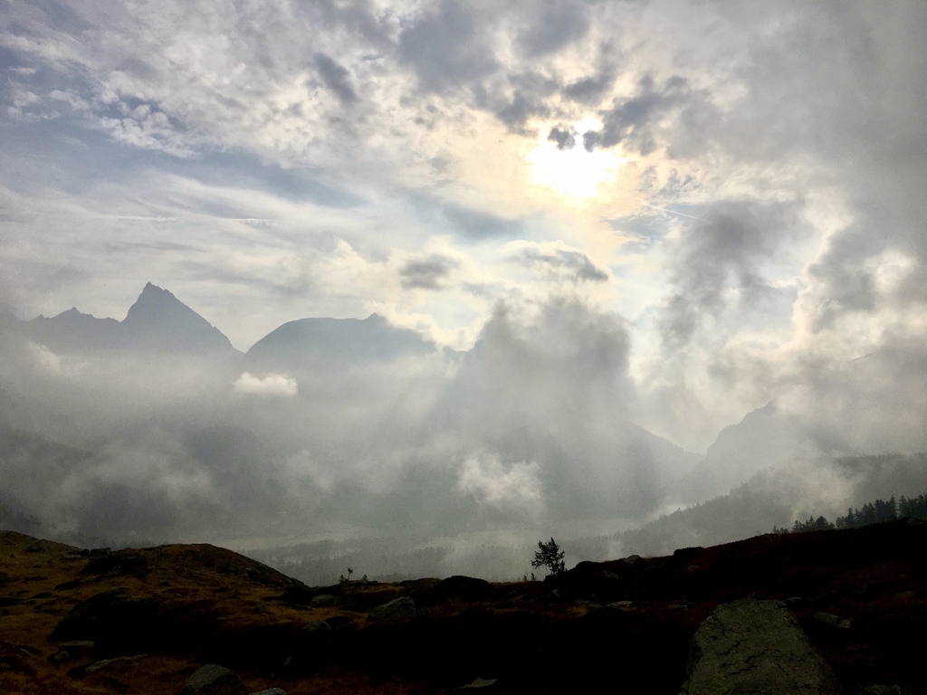
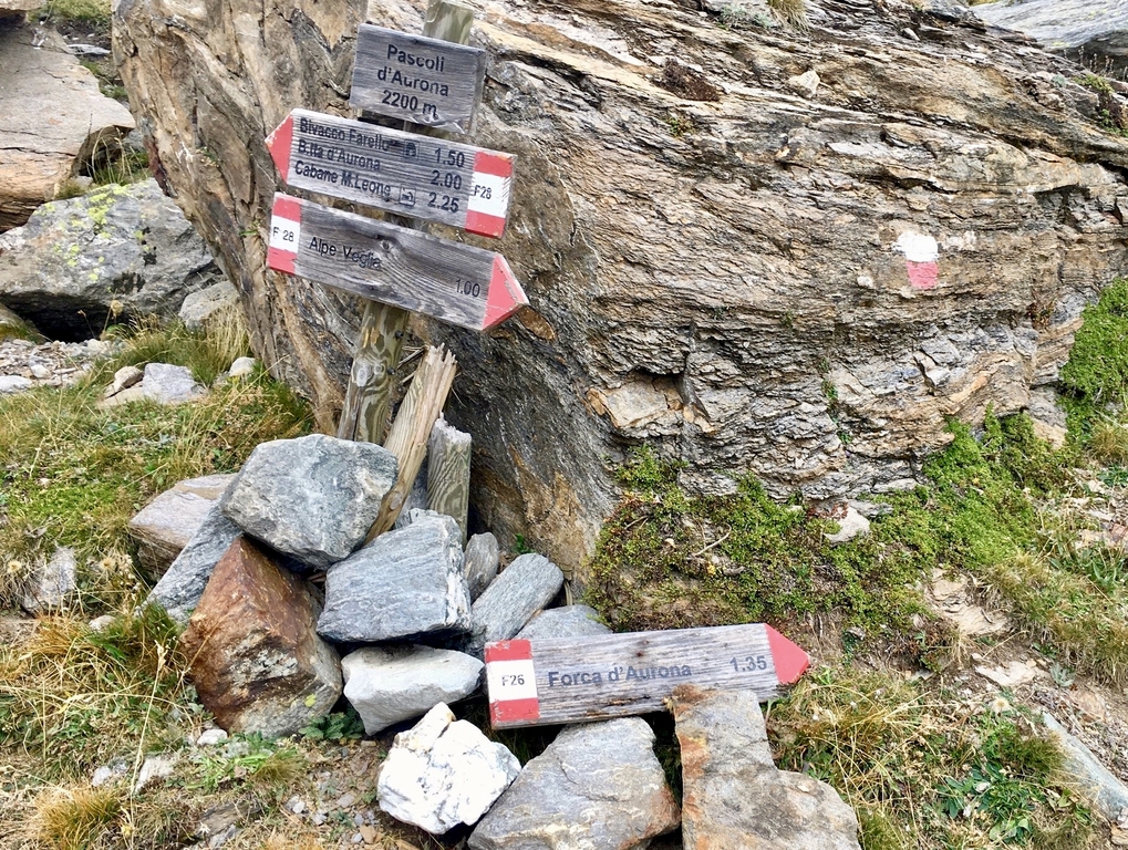
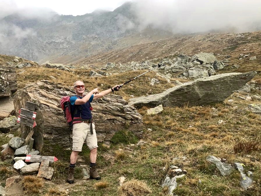
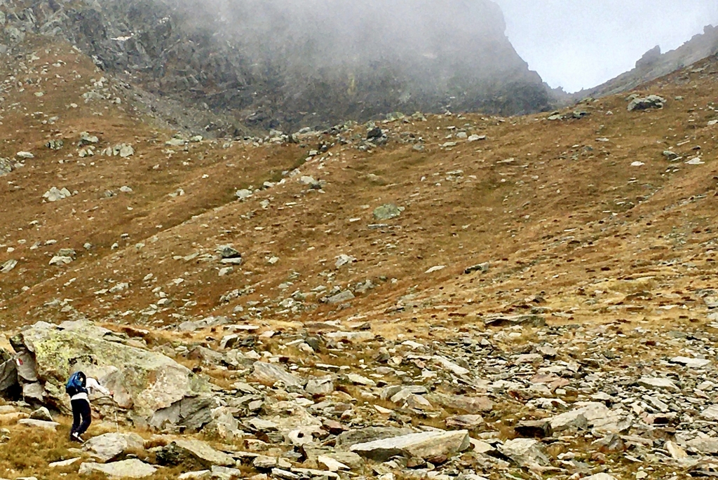
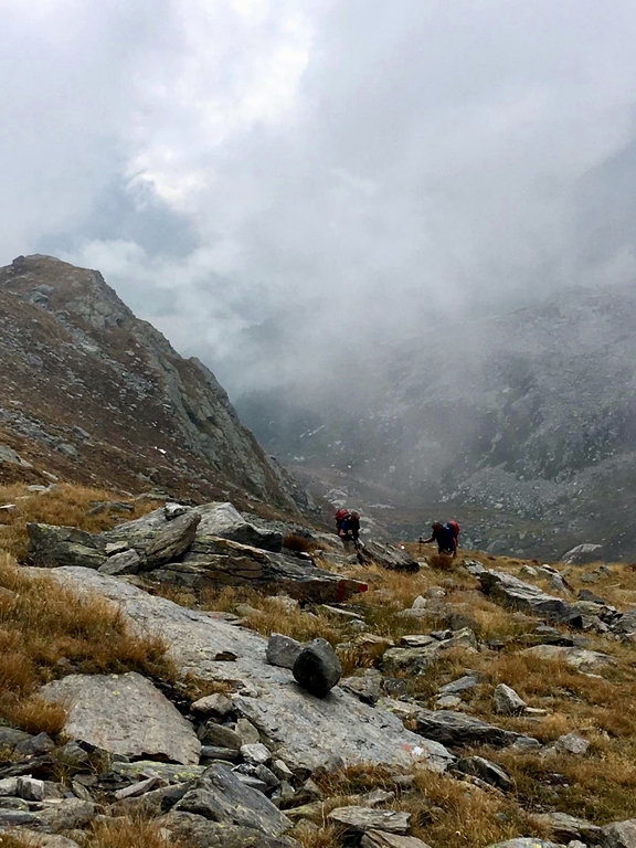
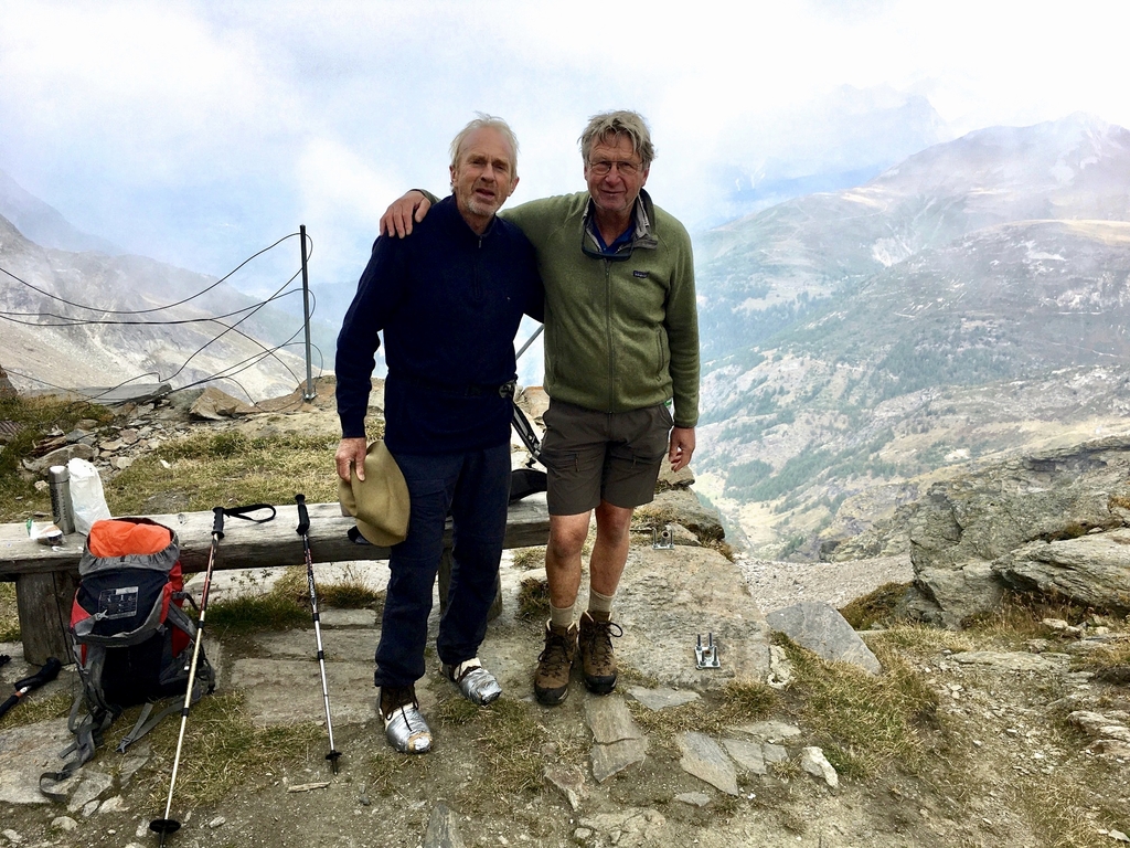
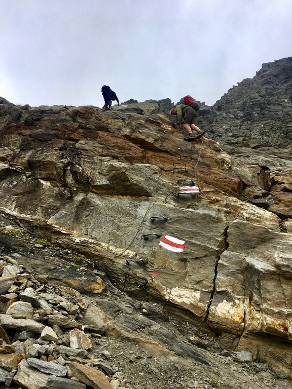
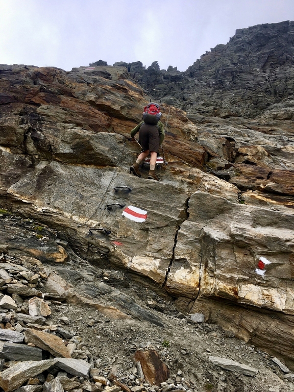
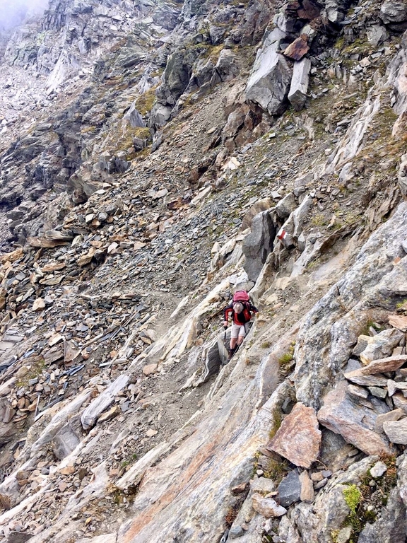
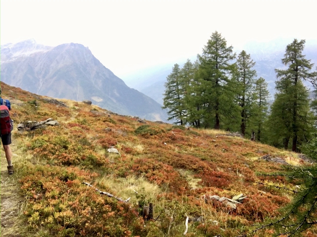
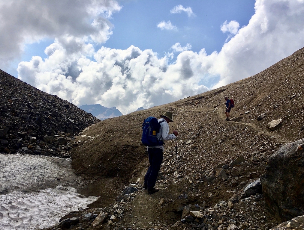
Up at 6:30, 7:00 breakfast and 7:45 on our way for our last day! At first via a gravel road to the village of Isola where right after the village we meet up with a fit weathered looking older man (probably our age!) heading in the same direction. He turns out to be a local on his morning hike and he recommends us to take the route over the pass just below Punta di Aurona. This route is better traverseable then our intended route over the pass near the Mte. Leone hut. We take his advice and change our plans. Shortly after he takes off on his intended route and we continue on ours to where the trail splits for the Punta di Aurona pass which we take. At 10:45 we arrive at the pass (2685m) via a good trail on the grassy south slope. On the way we spot mountain goats that motionlessly gaze back at us. This morning is for the first time this week very cloudy with the benefit of a cool climb up this southern slope. On the pass is a sturdy stone shelter built by a local Swiss organisation with amongst others a stock of bottled water! Two young ladies we meet up on the pass hiked up from Switserland, continue up to the cloud covered Punta di Aurona top 300m higher to then go back down to their car parked below. After an half hour break, it is cool at this height under the clouds, we head down at first via a "via ferrata" section which is getting used to, not too difficult and without incidents. Then a short section over a frozen snowfield, from there on over easy grassy slopes, a short section over a dirt road ( where the afore mention young ladies pass us again!), then we dive to the right into a trail that soon becomes a nice path in the woods which via some chalets and roads eventually brings us to the bus stop on the Simplon pass road just underneath a skilift station. It is 14:15, we have the time for a beer and pizza at the restaurant across the road before taking the bus to Brigg and train to Ulrichen. At 16:30 we arrive at our Hotel Nufenen where this time we get lodged in a nice big appartment.
walktime: 5:30 hrs; total time: 6:30 hrs; distance: 12.4 km; av. speed: 2,6 km/hr; up: 1000 m; down: 850 m; weather: cloudy and cooler than previous days, little to no wind.